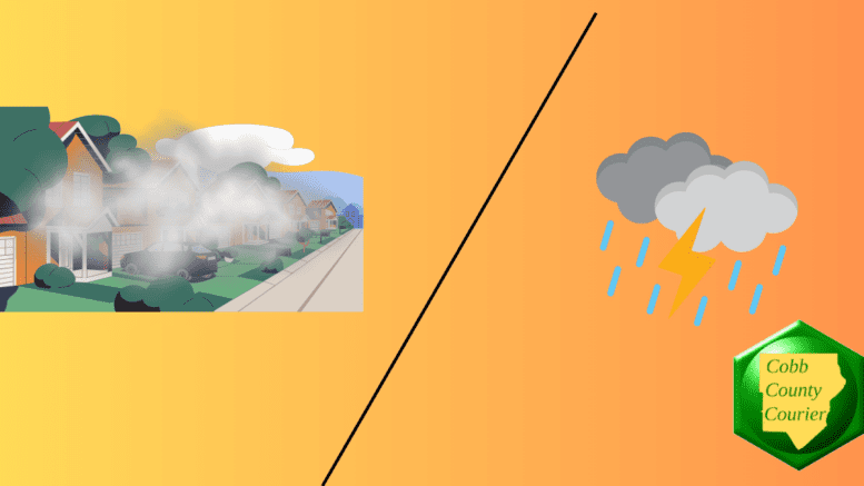
Patchy dense fog this morning and a chance of isolated afternoon showers and thunderstorms are the main hazards today across north and central Georgia, with additional daily thunderstorm chances expected Friday through Sunday.
The National Weather Service issued a hazardous weather outlook for north and central Georgia for Thursday, April 2, 2026.
Bonus for the more weather-curious among you … To read an article about interpreting a weather news report with some of the typical terminology defined, follow this link.
What is in the statement?
The statement gives the following details:
This Hazardous Weather Outlook is for north and central Georgia.
.DAY ONE…Today and Tonight…
Patchy dense fog is possible this morning in areas that received
rain yesterday. Visibilities are likely to be reduced to less than
half a mile.
Isolated showers and thunderstorms are possible after 1 PM mainly
across North Georgia.
.DAYS TWO THROUGH SEVEN…Friday through Wednesday…
Friday through Sunday will bring daily chances for isolated to
scattered showers and thunderstorms. Widespread severe weather is
not expected at this time.
The following counties are included in the hazardous weather outlook:
- Baldwin
- Banks
- Barrow
- Bartow
- Bibb
- Bleckley
- Butts
- Carroll
- Catoosa
- Chattahoochee
- Chattooga
- Cherokee
- Clarke
- Clayton
- Cobb
- Coweta
- Crawford
- Crisp
- Dade
- Dawson
- DeKalb
- Dodge
- Dooly
- Douglas
- Emanuel
- Fannin
- Fayette
- Floyd
- Forsyth
- Gilmer
- Glascock
- Gordon
- Greene
- Gwinnett
- Hall
- Hancock
- Haralson
- Harris
- Heard
- Henry
- Houston
- Jackson
- Jasper
- Jefferson
- Johnson
- Jones
- Lamar
- Laurens
- Lumpkin
- Macon
- Madison
- Marion
- Meriwether
- Monroe
- Montgomery
- Morgan
- Murray
- Muscogee
- Newton
- North Fulton
- Oconee
- Oglethorpe
- Paulding
- Peach
- Pickens
- Pike
- Polk
- Pulaski
- Putnam
- Rockdale
- Schley
- South Fulton
- Spalding
- Stewart
- Sumter
- Talbot
- Taliaferro
- Taylor
- Telfair
- Toombs
- Towns
- Treutlen
- Troup
- Twiggs
- Union
- Upson
- Walker
- Walton
- Warren
- Washington
- Webster
- Wheeler
- White
- Whitfield
- Wilcox
- Wilkes
- Wilkinson
What is the difference between isolated and scattered?
When forecasters describe thunderstorms as “isolated,” they mean that only a small portion of the area—generally less than 25 percent—will see activity. “Scattered” storms are more numerous, typically covering 30 to 50 percent of the area. Even with scattered storms, not everyone will experience rainfall, but coverage is noticeably higher than isolated activity.
Stay weather aware
Residents are encouraged to monitor forecasts for updates, especially if outdoor plans are scheduled. While widespread severe weather is not expected, thunderstorms can still produce lightning, brief heavy rain, and gusty winds.
About the National Weather Service
The National Weather Service (NWS) is a part of the National Oceanic and Atmospheric Administration (NOAA).
The NWS describes its role as follows:
The National Weather Service (NWS) provides weather, water, and climate forecasts and warnings for the United States, its territories, adjacent waters and ocean areas, for the protection of life and property and the enhancement of the national economy.
These services include Forecasts and Observations, Warnings, Impact-based Decision Support Services, and Education in an effort to build a Weather-Ready Nation. The ultimate goal is to have a society that is prepared for and responds to weather, water and climate events.
Be the first to comment on "Georgia Weather Outlook: Fog This Morning, Storm Chances This Afternoon"