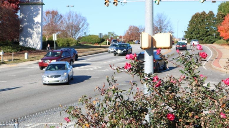
Are you late again because of construction or a traffic accident on your route? Do you wish there were a way to find the best alternative path around whatever is causing the road to turn into a parking lot? There may be a solution. Last month the Cobb County DOT and the popular smartphone app Waze formed a partnership. Waze is a crowdsourcing app that collects real-time traffic congestion information, posted by commuters. Other drivers can then use that information to find traffic slowdowns ahead of them, and choose alternative routes.
What does the Cobb DOT get out of this partnership?
The County DOT will receive realtime data on traffic incidents from Waze. While the DOT knows where construction is going on, and can gather info from sources such as the DOT’s 511 camera system, there has been no way to get immediate alerts across the entire road system. The data from Waze will allow the Cobb DOT to update their traffic information more rapidly. Perhaps the most important thing the Cobb DOT gets from Waze is a more comprehensive look at where traffic incidents happen, so that the county can make better planning decisions for transportation and road improvement.
What does Waze get out of this partnership?
Waze will get regular construction updates from the Cobb DOT. One limitation of Waze has been that it depends on commuters sending alerts about traffic slowdowns. The alerts expire after a set time, and unless commuters send it repeatedly to keep it alive on Waze, the app might not have a particular construction slowdown. Cobb DOT will send Waze its construction schedule so that the congestion will be shown for the entire life of the road project.
Where do I learn more?
You can download the Waze app for Android or iOS at http://www.waze.com/get. You can get more information about Cobb County’s participation in the program on the Cobb County DOT webpage. The partnership is part of the Waze Connected Citizens program.
