By Larry Felton Johnson
A few months ago, I recorded a video of my walk along the gap in the Silver Comet Trail Connector.
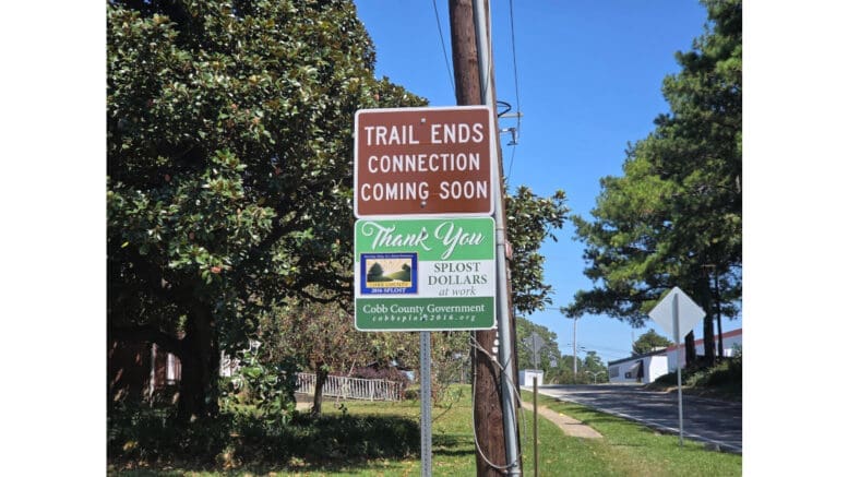
The connector runs from the trailhead at Mavell Road (formerly the easternmost point on the official trail) to Plant Atkinson Road, then breaks along Plant Atkinson Road, and resumes on South Atlanta Road, where it continues across the Chattahoochee River and into the City of Atlanta.
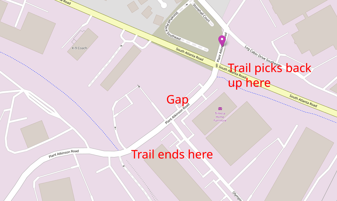
The long-term goal is for this connector to join the Silver Comet Trail to the Atlanta Beltline.
In my video walk along the gap, I made a somewhat off-handed comment that since the gap was so short, it probably posed no hazard.
An old friend of mine, Marty Mercer, who lives in Vinings off Log Cabin Road near the gap and is an avid cyclist, took issue with my comment.
So, I recorded a Zoom call with him, in which he laid out the hazards posed by the gap in great detail.
I also contacted the county to ask about the progress of getting the gap filled, and received the following reply from Cobb’s Communications Director Ross Cavitt:
Hey Larry.
DOT says they are working with the PATH Foundation to determine the path forward (nice).
There was a potential zoning case that would have provided a land donation for the route, but that plan was withdrawn. Not knowing the status, DOT is just starting the work to determine possible methods of acquiring the necessary property and working with the PATH folks on funding.
RC
The zoning request referred to is Z-80, a rezoning that would have changed the zoning category from industrial to a category that would allow a mixed-use development of residential, retail and commercial at the intersection of South Atlanta and Plant Atkinson roads.
The application was withdrawn without prejudice (meaning the applicant could resubmit) in the face of heavy opposition.
Here is the video that includes Marty’s description of the hazards of that gap and intersection: