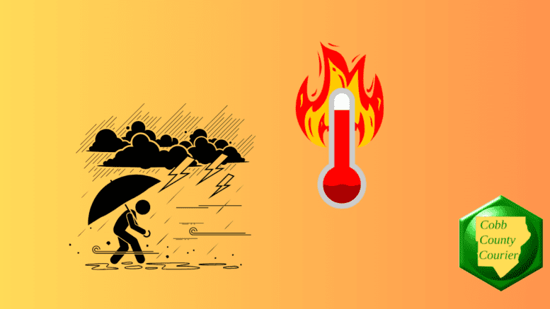
A heat wave bringing triple-digit heat indices and isolated thunderstorms is forecast for north and central Georgia, with the most intense conditions expected between Sunday and Tuesday.
The National Weather Service issued a hazardous weather outlook for north and central Georgia, beginning today, Saturday, July 26.
Bonus for the more weather-curious among you … To read an article about interpreting a weather news report with some of the typical terminology defined, follow this link.
The statement gives the following details:
This Hazardous Weather Outlook is for north and central Georgia.
.DAY ONE…Today and Tonight…
Widespread heat index values in the 100 to 106 degree range are expected between noon and 8 PM today.
Isolated thunderstorms are possible along the Georgia Alabama border and in the north Georgia mountains between 1 PM and 9 PM today. Be alert for lightning and wind gusts near 40 mph.
.DAYS TWO THROUGH SEVEN…Sunday through Friday…
A heat wave will occur in Georgia between Sunday and Tuesday. Widespread heat indices over 100 are expected, with some areas potentially exceeding 110 degrees on Monday and Tuesday. Precautions should be taken to avoid heat related illnesses.
Isolated afternoon and evening thunderstorms will continue in north and central Georgia through next week.
The following counties are included in the hazardous weather outlook:
Baldwin, Banks, Barrow, Bartow, Bibb, Bleckley, Butts, Carroll, Catoosa, Chattahoochee, Chattooga, Cherokee, Clarke, Clayton, Cobb, Coweta, Crawford, Crisp, Dade, Dawson, DeKalb, Dodge, Dooly, Douglas, Emanuel, Fannin, Fayette, Floyd, Forsyth, Gilmer, Glascock, Gordon, Greene, Gwinnett, Hall, Hancock, Haralson, Harris, Heard, Henry, Houston, Jackson, Jasper, Jefferson, Johnson, Jones, Lamar, Laurens, Lumpkin, Macon, Madison, Marion, Meriwether, Monroe, Montgomery, Morgan, Murray, Muscogee, Newton, North Fulton, Oconee, Oglethorpe, Paulding, Peach, Pickens, Pike, Polk, Pulaski, Putnam, Rockdale, Schley, South Fulton, Spalding, Stewart, Sumter, Talbot, Taliaferro, Taylor, Telfair, Toombs, Towns, Treutlen, Troup, Twiggs, Union, Upson, Walker, Walton, Warren, Washington, Webster, Wheeler, White, Whitfield, Wilcox, Wilkes, Wilkinson
What is meant by “isolated” and “scattered”?
The NWS defines “isolated” as follows:
A National Weather Service convective precipitation descriptor for a 10 percent chance of measurable precipitation (0.01 inch). Isolated is used interchangeably with few.
“Scattered” has the following definition:
When used to describe precipitation (for example: “scattered showers”) – Area coverage of convective weather affecting 30 percent to 50 percent of a forecast zone(s).
Isolated thunderstorms and scattered thunderstorms are two terms used to describe different distributions of thunderstorm activity within a particular area. The main difference lies in the extent of coverage and how the thunderstorms are spatially distributed:
- Isolated Thunderstorms:
- Relatively rare and generally confined to a limited area.
- Few and far between, with significant gaps between storm cells.
- Cover less than 20% of the forecast area.
- Can still be intense, producing rain, lightning, wind, and possibly hail.
- Scattered Thunderstorms:
- More widespread than isolated thunderstorms.
- Numerous but not continuous or in a cluster.
- Cover between 30% to 50% of the forecast area.
- Still leave considerable gaps between storm cells.
In summary, isolated thunderstorms are fewer in number and more localized, while scattered thunderstorms are more widespread with numerous individual storms occurring somewhat randomly.
About the National Weather Service
The National Weather Service (NWS) is a part of the National Oceanic and Atmospheric Administration (NOAA).
“The National Weather Service (NWS) provides weather, water, and climate forecasts and warnings for the United States, its territories, adjacent waters and ocean areas, for the protection of life and property and the enhancement of the national economy.
These services include Forecasts and Observations, Warnings, Impact-based Decision Support Services, and Education in an effort to build a Weather-Ready Nation. The ultimate goal is to have a society that is prepared for and responds to weather, water and climate events.”