Dry conditions and low humidity have prompted a fire danger statement across north and central Georgia today, with officials warning that wildfires could spread rapidly. Looking ahead, a strong weekend system is expected to bring widespread rain, gusty winds, and a potential for severe weather—mainly across central Georgia.
The National Weather Service issued a hazardous weather outlook for north and central Georgia for Friday, Feb 13.
Bonus for the more weather-curious among you … To read an article about interpreting a weather news report with some of the typical terminology defined, follow this link.
What is in the statement?
The statement gives the following details:
This Hazardous Weather Outlook is for north and central Georgia.
.DAY ONE…Today and Tonight…
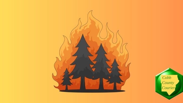
A fire danger statement is in effect for all of North and Central Georgia through 7 PM today. Low relative humidities and dry vegetation will combine to allow wildfires to spread rapidly. Use extreme caution during all outdoor burns.
.DAYS TWO THROUGH SEVEN…Saturday through Thursday…
A strong system will move across the region over the weekend bringing widespread rainfall and potentially gusty winds on Sunday. There is a non-zero severe weather threat with the system, primarily across central Georgia.
Why does low relative humidity increase the danger of fire?
The National Park Service published the following explanation of why low relative humidity increases the danger of fires:
“Relative humidity is important because dead forest fuels and the air are always exchanging moisture. Low humidity takes moisture from the fuels, and fuels in turn, take moisture from the air when the humidity is high.
“Light fuels, such as grass and pine needles, gain and lose moisture quickly with changes in relative humidity. When the RH drops, fire behavior increases because these fine fuels become drier.
“Heavy fuels, on the other hand, respond to humidity changes more slowly. To see significant changes in heavy fuel moisture, there must be significant moisture, usually from more than a single storm.”
What counties are affected?
The following counties are included in the hazardous weather outlook:
Baldwin, Banks, Barrow, Bartow, Bibb, Bleckley, Butts, Carroll, Catoosa, Chattahoochee, Chattooga, Cherokee, Clarke, Clayton, Cobb, Coweta, Crawford, Crisp, Dade, Dawson, DeKalb, Dodge, Dooly, Douglas, Emanuel, Fannin, Fayette, Floyd, Forsyth, Gilmer, Glascock, Gordon, Greene, Gwinnett, Hall, Hancock, Haralson, Harris, Heard, Henry, Houston, Jackson, Jasper, Jefferson, Johnson, Jones, Lamar, Laurens, Lumpkin, Macon, Madison, Marion, Meriwether, Monroe, Montgomery, Morgan, Murray, Muscogee, Newton, North Fulton, Oconee, Oglethorpe, Paulding, Peach, Pickens, Pike, Polk, Pulaski, Putnam, Rockdale, Schley, South Fulton, Spalding, Stewart, Sumter, Talbot, Taliaferro, Taylor, Telfair, Toombs, Towns, Treutlen, Troup, Twiggs, Union, Upson, Walker, Walton, Warren, Washington, Webster, Wheeler, White, Whitfield, Wilcox, Wilkes, Wilkinson
ea with significant gaps between storms, while scattered thunderstorms are more widespread, covering a larger area with numerous individual storms occurring somewhat randomly across the forecast area.
About the National Weather Service
The National Weather Service (NWS) is a part of the National Oceanic and Atmospheric Administration (NOAA).
The NWS describes its role as follows:
The National Weather Service (NWS) provides weather, water, and climate forecasts and warnings for the United States, its territories, adjacent waters and ocean areas, for the protection of life and property and the enhancement of the national economy.
These services include Forecasts and Observations, Warnings, Impact-based Decision Support Services, and Education in an effort to build a Weather-Ready Nation. The ultimate goal is to have a society that is prepared for and responds to weather, water and climate events.