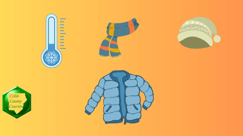
A Freeze Watch is in effect from Monday evening through Tuesday morning across much of Georgia, where temperatures could fall as low as 20 degrees. The cold could kill sensitive plants and damage unprotected outdoor plumbing.
The National Weather Service issued a hazardous weather outlook for north and central Georgia for Sunday, March 15, 2026, and also a Freeze Watch alert.
Bonus for the more weather-curious among you … To read an article about interpreting a weather news report with some of the typical terminology defined, follow this link.
What is in the statement?
The statement gives the following details:
…FREEZE WATCH IN EFFECT FROM MONDAY EVENING THROUGH TUESDAY MORNING…
* WHAT…Sub-freezing temperatures as low as 20 possible.
* WHERE…Portions of central, east central, north central, northeast, northwest, southeast, and west central Georgia.
* WHEN…From Monday evening through Tuesday morning.
* IMPACTS…Frost and freeze conditions could kill crops, other sensitive vegetation and possibly damage unprotected outdoor plumbing.
PRECAUTIONARY/PREPAREDNESS ACTIONS…
Take steps now to protect tender plants from the cold.
To prevent water pipes from freezing; wrap or drain or allow them to drip slowly.
The following counties are included in the hazardous weather outlook:
Dade, Walker, Catoosa, Whitfield, Murray, Fannin, Gilmer, Union, Towns, Chattooga, Gordon, Pickens, Dawson, Lumpkin, White, Floyd, Bartow, Cherokee, Forsyth, Hall, Banks, Jackson, Madison, Polk, Paulding, Cobb, North Fulton, Gwinnett, Barrow, Clarke, Oconee, Oglethorpe, Wilkes, Haralson, Carroll, Douglas, South Fulton, DeKalb, Rockdale, Walton, Newton, Morgan, Greene, Taliaferro, Heard, Coweta, Fayette, Clayton, Spalding, Henry, Butts, Jasper, Putnam, Hancock, Warren, Troup, Meriwether, Pike, Upson, Lamar, Monroe, Jones, Baldwin, Washington, Glascock, Jefferson, Harris, Talbot, Taylor, Crawford, Bibb, Twiggs, Wilkinson, Johnson, Emanuel, Muscogee, Chattahoochee, Marion, Schley, Macon, Peach, Houston, Bleckley, Laurens, Treutlen, Stewart, Webster, Sumter, Dooly, Crisp, Pulaski, Wilcox, Dodge, Telfair, Wheeler, Montgomery, Toombs
The following cities are included in the hazardous weather outlook:
Monticello, Abbeville, Eastman, Warrenton, Decatur, Chatsworth, Woodstock, Thomaston, Sandersville, Manchester, Blairsville, Cochran, Jackson, Dahlonega, Ellijay, Griffin, Americus, Dublin, Louisville, Barnesville, Montezuma, Atlanta, Winder, Newnan, Ellaville, Blue Ridge, Fort Oglethorpe, Homer, Dalton, Buena Vista, Roberts, Peachtree City, Lawrenceville, Alamo, Carrollton, Fort Benning, LaFayette, Dawsonville, Forsyth, Rome, Commerce, Dallas, Monroe, Talbotton, Watkinsville, Gray, East Point, Greensboro, Jasper, Marietta, Cleveland, West Point, Cartersville, Athens, Lumpkin, Crawford, Preston, Swainsboro, Macon, Conyers, Wrightsville, Hawkinsville, Vidalia, Fort Valley, Summerville, Mount Vernon, Columbus, Comer, Douglasville, Sparta, Toomsboro, Zebulon, Stockbridge, Bremen, Vienna, Cordele, Hiawassee, Warner Robins, Soperton, Calhoun, Franklin, Riverdale, Covington, Crawfordville, Pine Mountain, Gainesville, Cedartown, Trenton, Milledgeville, Jeffersonville, Madison, Gibson, Butler, Cumming, Eatonton, Washington, and McRae
What is meant by “isolated” and “scattered”?
The NWS defines “isolated” as follows:
A National Weather Service convective precipitation descriptor for a 10 percent chance of measurable precipitation (0.01 inch). Isolated is used interchangeably with few.
“Scattered” has the following definition:
When used to describe precipitation (for example: “scattered showers”) – Area coverage of convective weather affecting 30 percent to 50 percent of a forecast zone (s).
Isolated thunderstorms and scattered thunderstorms are two terms used to describe different distributions of thunderstorm activity within a particular area. The main difference lies in the extent of coverage and how the thunderstorms are spatially distributed:
- Isolated Thunderstorms:
- Isolated thunderstorms are relatively rare occurrences that happen sporadically and are generally confined to a limited area.
- These thunderstorms are often characterized by being few and far between, with significant gaps between individual storm cells.
- Typically, isolated thunderstorms cover less than 20% of the forecast area.
- Despite their isolated nature, these storms can still be intense and may produce heavy rain, lightning, gusty winds, and possibly hail.
- Scattered Thunderstorms:
- Scattered thunderstorms are more widespread than isolated thunderstorms and cover a larger portion of the forecast area.
- In a scattered thunderstorm scenario, numerous individual thunderstorms develop, but they are not continuous or widespread enough to be classified as a “line” or “cluster” of storms.
- Scattered thunderstorms generally cover between 30% to 50% of the forecast area.
- Although scattered thunderstorms are more widespread, they still leave considerable gaps between storm cells, and not everyone within the forecast area will necessarily experience a thunderstorm.
In summary, isolated thunderstorms are fewer in number and more localized, covering a smaller area with significant gaps between storms, while scattered thunderstorms are more widespread, covering a larger area with numerous individual storms occurring somewhat randomly across the forecast area.
About the National Weather Service
The National Weather Service (NWS) is a part of the National Oceanic and Atmospheric Administration (NOAA).
The NWS describes its role as follows:
The National Weather Service (NWS) provides weather, water, and climate forecasts and warnings for the United States, its territories, adjacent waters and ocean areas, for the protection of life and property and the enhancement of the national economy.
These services include Forecasts and Observations, Warnings, Impact-based Decision Support Services, and Education in an effort to build a Weather-Ready Nation. The ultimate goal is to have a society that is prepared for and responds to weather, water and climate events.