This is mostly a reprint of an article published in the Courier when the news site was called River Edges, and mostly concerned itself with the communities in Cobb adjacent to the Chattahoochee River.
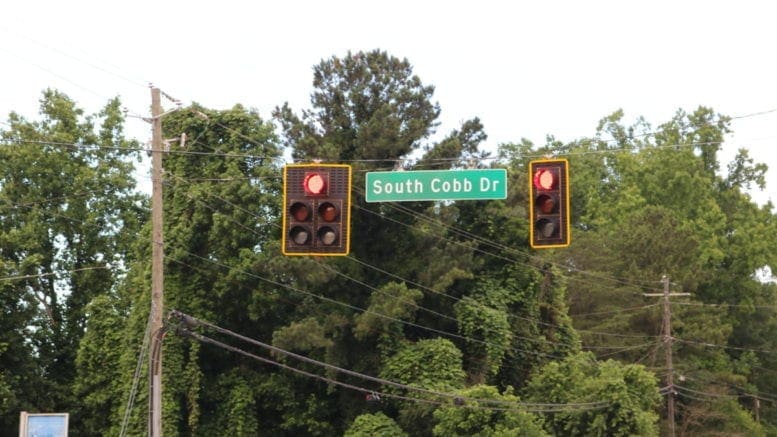
South Cobb Drive is a major highway through Cobb County, comparable to Cobb Parkway and Veterans Memorial Highway in both practical usefulness as a transportation route, and as a commercial corridor.
At that time we originally published the article below, a corridor study was underway for that portion of South Cobb Drive within the city limits of Smyrna.
How it began
In December of 1941, after Japan’s attack on Pearl Harbor, the United States entered World War II. The entire nation, including Atlanta and its surrounding area, was mobilized for the war effort. In February of 1942 the building of the Bell Bomber plant was announced, after Marietta beat East Point and Stone Mountain in competition for the plant’s location. By March of 1943 the plant began building the B-29 bomber. According to the New Georgia Encyclopedia the work force at the plant grew to over 28,000 by 1945.
The state determined that a new highway was necessary to transport workers and goods from Atlanta. At that point the current Atlanta Road (then called Marietta-Atlanta Road) was the main route from Atlanta to Marietta.
An article in the Atlanta Constitution in April of 1942 reported on the laying of water pipe along what it simply described as “the new Marietta highway.” Another article in July of 1943 said that construction would be completed by October of that year. It described the road:
“The road leading from Bolton crosses the Chattahoochee River, skirts Smyrna and Fair Oaks, and leads into the old Atlanta-Marietta Road, about one fourth mile from the Marietta city limit. The road leads directly to the main gate of the Bell plant, and is approximately 12 miles long”
That road became highway 280, now known as South Cobb Drive. It’s an important transportation corridor and commercial highway for dozens of communities in Cobb County. But it got its start as a single-purpose road, to connect Atlanta with a wartime bomber factory.
Very interesting read and with a history lesson attached.
I always enjoy reading the history of cities, streets, buildings, etc.
Thank you for the article. However, the article raised a question in my mind; what happened to the Bell Bomber plant? Is it the current location of Lockheed Martin?
Yes. Lockheed Martin took over the plant grounds in around 1952 when it was still named the Lockheed Corporation. The Bell Bomber plant had been used as a storage facility between the end of the war and the time Lockheed Corp. took over the plant.
When did South Cobb become 4 lanes