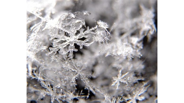
According to the report from the National Weather Service, Cobb County and much of north Georgia is still under a hazardous weather outlook, with the main dangers overnight Sunday and during the day Monday to be black ice and high winds.
The wind advisory is in effect until 7 p.m. Monday evening.
The advisory describes the details as follows:
* WHAT...From 2 PM EST this afternoon winds could reach Wind
  Advisory levels with west winds 10 to 20 mph and gusts up to 30
  mph expected.

* WHERE...Portions of north central, northeast, northwest and
  west central Georgia.

* WHEN...For the High Wind Warning, until 2 PM EST this
  afternoon. For the Wind Advisory, from 2 PM EST this afternoon
  until 7 PM EST Monday.

* IMPACTS...Gusty winds will blow around unsecured objects.
  Large tree limbs and some trees could be blown down and power
  outages may result.

* ADDITIONAL DETAILS...Ice accumulations on tree limbs and
  branches may make trees more vulnerable to being downed in gusty
  winds.
The Georgia Department of Transportation also issued the following warning:
With precipitation expected to continue as temperatures drop below freezing across north Georgia into Sunday evening, the Georgia Department of Transportation (Georgia DOT) reminds drivers of the potential for black ice to develop when wet roads freeze.
Black ice is a thin, often invisible sheet of ice that forms on the roadway, especially on bridges, overpasses and low lying areas. It can form at any time when temperatures drop below freezing and there is any form of moisture on the road way.
If a motorist experiences black ice, it is imperative not to slam on the brakes or overcorrect steering. This can cause a driver to lose control of their vehicle. Georgia DOT encourages drivers to stay off the roads. However, if travel is necessary, remember to drive slowly; buckle up; and drive alert. Pay attention to changing road conditions.
7-day forecast
The following is the NWS 7-day weather forecast, centered on Dobbins ARB in Marietta:
Overnight Sunday A 40 percent chance of snow, mainly before 9 p.m. Mostly cloudy, with a low around 27. West wind 10 to 20 mph, with gusts as high as 30 mph. New snow accumulation of less than a half inch possible.
M.L.King Day Mostly cloudy, with a high near 39. West wind around 15 mph, with gusts as high as 25 mph.
Monday Night Partly cloudy, with a low around 24. Northwest wind 5 to 10 mph, with gusts as high as 15 mph.
Tuesday Sunny, with a high near 49. Northwest wind around 5 mph becoming southwest in the afternoon.
Tuesday Night Partly cloudy, with a low around 31.
Wednesday A 40 percent chance of showers. Partly sunny, with a high near 55.
Wednesday Night Showers. Low around 38. Chance of precipitation is 100%.
Thursday A 20 percent chance of showers. Partly sunny, with a high near 44.
Thursday Night A slight chance of rain and snow. Mostly cloudy, with a low around 28. Chance of precipitation is 20%.
Friday A 20 percent chance of snow. Mostly cloudy, with a high near 35.
Friday Night A 20 percent chance of snow. Mostly cloudy, with a low around 21.
Saturday Mostly sunny, with a high near 36.
Saturday Night Partly cloudy, with a low around 21.
Sunday Mostly sunny, with a high near 38.
About the National Weather Service
The National Weather Service (NWS) is a part of the National Oceanic and Atmospheric Administration (NOAA).
The NWS describes its role as follows:
The National Weather Service (NWS) provides weather, water, and climate forecasts and warnings for the United States, its territories, adjacent waters and ocean areas, for the protection of life and property and the enhancement of the national economy. These services include Forecasts and Observations, Warnings, Impact-based Decision Support Services, and Education in an effort to build a Weather-Ready Nation. The ultimate goal is to have a society that is prepared for and responds to weather, water and climate events.
Read all the Cobb County Courier climate and weather coverage by following this link.