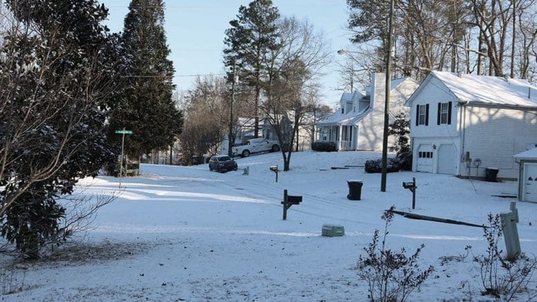
The National Weather Service has issued a pair of statements warning of a wintry storm in Cobb County and other parts of north Georgia. The forecast is for snow, ice and high winds.
The first reads as follows:
Floyd-Bartow-Polk-Paulding-Cobb-North Fulton-Haralson-Carroll-
Douglas-South Fulton-DeKalb-
Including the cities of Rome, Cartersville, Marietta, Atlanta,
Carrollton, Douglasville, East Point, and Decatur
444 AM EST Sat Jan 15 2022

...WINTER WEATHER ADVISORY IN EFFECT FROM MIDNIGHT TONIGHT TO
MIDNIGHT EST SUNDAY NIGHT...

* WHAT...Mixed precipitation expected. Total snow accumulations
  of up to one inch and ice accumulations of around one tenth of
  an inch.

* WHERE...Portions of north central and northwest Georgia.

* WHEN...From midnight tonight to midnight EST Sunday night.

* IMPACTS...Plan on slippery road conditions.


PRECAUTIONARY/PREPAREDNESS ACTIONS...

Slow down and use caution while traveling.

Continue to monitor the latest forecasts. Additional details can
be found at weather.gov/Atlanta.
The second related message is a wind advisory lasting until noon Sunday:
...WIND ADVISORY REMAINS IN EFFECT FROM MIDNIGHT TONIGHT TO NOON
EST SUNDAY...

* WHAT...East winds 15 to 25 mph with gusts up to 35 mph
  expected. Gusts up to 50 mph are possible at elevations above
  2500 feet.

* WHERE...Much of north Georgia.

* WHEN...From midnight tonight to noon EST Sunday.

* IMPACTS...Gusty winds will blow around unsecured objects.
  Large tree limbs and some trees could be blown down and power
  outages may result.


PRECAUTIONARY/PREPAREDNESS ACTIONS...

Use extra caution when driving, especially if operating a high
profile vehicle. Secure outdoor objects.

Avoid prolonged time outdoors in forested areas. Falling tree
limbs can lead to serious injury or death.
7-day forecast
The following is the NWS 7-day weather forecast, centered on Dobbins ARB in Marietta:
Today A 10 percent chance of rain after 5pm. Cloudy, with a high near 49. East wind 5 to 10 mph, with gusts as high as 15 mph.
Tonight Rain before 4 a.m., then rain and snow. Low around 32. East wind 15 to 20 mph, with gusts as high as 35 mph. Chance of precipitation is 100%. Little or no snow accumulation expected.
Sunday Rain, freezing rain, and sleet before 2 p.m., then snow and sleet between 2 p.m. and 3 p.m., then rain and snow after 3 p.m. High near 36. Windy, with an east wind 20 to 25 mph decreasing to 10 to 15 mph in the afternoon. Winds could gust as high as 45 mph. Chance of precipitation is 90%. Little or no ice accumulation expected. New snow and sleet accumulation of less than a half inch possible.
Sunday Night Rain and snow likely before 8 p.m., then a chance of snow between 8 p.m. and 10 p.m. Mostly cloudy, with a low around 27. West wind 5 to 15 mph, with gusts as high as 25 mph. Chance of precipitation is 60%.
M.L.King Day Mostly sunny, with a high near 40. West wind around 15 mph, with gusts as high as 25 mph.
Monday Night Partly cloudy, with a low around 26.
Tuesday Sunny, with a high near 47.
Tuesday Night Partly cloudy, with a low around 31.
Wednesday A 30 percent chance of showers after 8 a.m. Partly sunny, with a high near 54.
Wednesday Night Showers likely, mainly after 8 p.m. Mostly cloudy, with a low around 38. Chance of precipitation is 70%.
Thursday Showers likely. Mostly cloudy, with a high near 45. Chance of precipitation is 70%.
Thursday Night A 30 percent chance of showers. Mostly cloudy, with a low around 28.
Friday Partly sunny, with a high near 40.
About the National Weather Service
The National Weather Service (NWS) is a part of the National Oceanic and Atmospheric Administration (NOAA).
The NWS describes its role as follows:
The National Weather Service (NWS) provides weather, water, and climate forecasts and warnings for the United States, its territories, adjacent waters and ocean areas, for the protection of life and property and the enhancement of the national economy. These services include Forecasts and Observations, Warnings, Impact-based Decision Support Services, and Education in an effort to build a Weather-Ready Nation. The ultimate goal is to have a society that is prepared for and responds to weather, water and climate events.
Read all the Cobb County Courier climate and weather coverage by following this link.