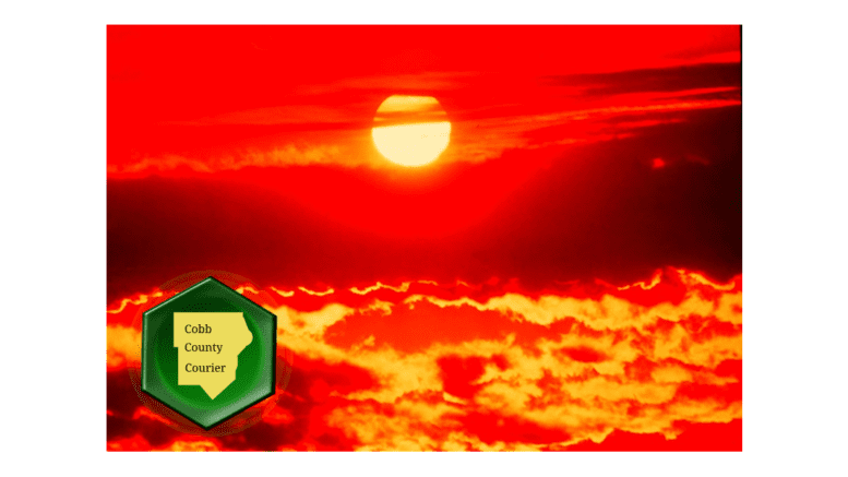
The National Weather Service issued a hazardous weather outlook for Cobb County and other nearby counties that warns of temperatures that are well above normal for this early in the summer.
What is in the statement?
The statement from the NWS gives the following details:
This Hazardous Weather Outlook is for portions of North and Central Georgia.
.DAY ONE…Today and Tonight…
Maximum temperatures will once again be hot and well above normal
for this time of year for portions of east central and centralThe National Weather Service issued a hazardous weather outlook that warns of due to temperatures that are well above normal for this early in the summer.
Georgia. An Excessive Heat Warning has been issued in areas where
the maximum temperature could reach 105 degrees. A Heat Advisory
has been issued for areas that could reach 103 degrees. See
/ATLNPWFFC/ for specific details.
Isolated thunderstorms will be possible across much of the area
late this afternoon and evening. Frequent lightning strikes and
gusty winds would be the primary hazards.
.DAYS TWO THROUGH SEVEN…Friday through Wednesday…
A Heat Advisory may be needed for portions of central Georgia on
Friday for Heat Indices around 105 degrees.
The chance for thunderstorms increases a little across a large
portion of the area near the end of the week into the weekend.
What counties are affected?
The following counties are included in the hazardous weather outlook:
Baldwin, Banks, Barrow, Bartow, Bibb, Bleckley, Butts, Carroll, Catoosa, Chattahoochee, Chattooga, Cherokee, Clarke, Clayton, Cobb, Coweta, Crawford, Crisp, Dade, Dawson, DeKalb, Dodge, Dooly, Douglas, Emanuel, Fannin, Fayette, Floyd, Forsyth, Gilmer, Glascock, Gordon, Greene, Gwinnett, Hall, Hancock, Haralson, Harris, Heard, Henry, Houston, Jackson, Jasper, Jefferson, Johnson, Jones, Lamar, Laurens, Lumpkin, Macon, Madison, Marion, Meriwether, Monroe, Montgomery, Morgan, Murray, Muscogee, Newton, North Fulton, Oconee, Oglethorpe, Paulding, Peach, Pickens, Pike, Polk, Pulaski, Putnam, Rockdale, Schley, South Fulton, Spalding, Stewart, Sumter, Talbot, Taliaferro, Taylor, Telfair, Toombs, Towns, Treutlen, Troup, Twiggs, Union, Upson, Walker, Walton, Warren, Washington, Webster, Wheeler, White, Whitfield, Wilcox, Wilkes, Wilkinson
How long does the danger last?
Unseasonably hot weather is expected to last at least through next Wednesday, although the chance of thunderstorms over the weekend could affect the temperature.
About the National Weather Service
The National Weather Service (NWS) is a part of the National Oceanic and Atmospheric Administration (NOAA).
The NWS describes its role as follows:
The National Weather Service (NWS) provides weather, water, and climate forecasts and warnings for the United States, its territories, adjacent waters and ocean areas, for the protection of life and property and the enhancement of the national economy. These services include Forecasts and Observations, Warnings, Impact-based Decision Support Services, and Education in an effort to build a Weather-Ready Nation. The ultimate goal is to have a society that is prepared for and responds to weather, water and climate events.
Read all the Cobb County Courier climate and weather coverage by following this link.