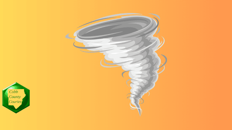
The National Weather Service issued a tornado watch for central Georgia on Tuesday January 9 that also included a region-wide hazardous weather outlook. The watch is in effect until 2 p.m.
What is in the statement?
The statement gives the following details:
This Hazardous Weather Outlook is for portions of North and Central Georgia.
.DAY ONE…Today and Tonight…
A Tornado Watch has been issued for portions of central Georgia
until 2 PM.
A High Wind Warning is in effect for portions of Northeast Georgia
until 1 PM today for wind gusts over 50 mph. A Wind Advisory is in
effect for all other portions of the county warning area for wind
gusts to 45 mph. A Flood Watch is in effect through this evening for
areas north of the fall line due to storm total rainfall amounts of
2 to 4 inches. Locally higher amounts are possible, particularly
across the northeast mountains. Scattered thunderstorms are expected
across central Georgia, with severe storms and isolated tornadoes
possible mostly south of a Columbus to Macon line. Isolated
thunderstorms are possible elsewhere.
.DAYS TWO THROUGH SEVEN…Wednesday through Monday…
Another storm system is expected to bring thunderstorms to the
region again Friday. Some storms may become strong to severe.
.SPOTTER INFORMATION STATEMENT…
Spotter activation is not requested at this time, but spotters are
encouraged to submit reports of severe weather through the web by
going to weather.gov/atlanta. Please relay any information about
observed severe weather to the NWS.
What is the difference between a watch and a warning?
The National Weather Service describes the difference between a “watch” and a “warning” as follows:
As the event becomes imminent, a watch will normally be upgraded to either a warning or an advisory (which indicates an 80% or greater probability of occurence).
“A Warning indicates that conditions pose a threat to life or property, and that travel will become difficult to impossible. “
“An Advisory indicates conditions pose a significant inconvenience, and if caution is not exercised, could lead to situations that may threaten life and/or property.”
What counties are included in the alert?
The following counties are listed in the alert:
Baldwin, Banks, Barrow, Bartow, Bibb, Bleckley, Butts, Carroll, Catoosa, Chattahoochee, Chattooga, Cherokee, Clarke, Clayton, Cobb, Coweta, Crawford, Crisp, Dade, Dawson, DeKalb, Dodge, Dooly, Douglas, Emanuel, Fannin, Fayette, Floyd, Forsyth, Gilmer, Glascock, Gordon, Greene, Gwinnett, Hall, Hancock, Haralson, Harris, Heard, Henry, Houston, Jackson, Jasper, Jefferson, Johnson, Jones, Lamar, Laurens, Lumpkin, Macon, Madison, Marion, Meriwether, Monroe, Montgomery, Morgan, Murray, Muscogee, Newton, North Fulton, Oconee, Oglethorpe, Paulding, Peach, Pickens, Pike, Polk, Pulaski, Putnam, Rockdale, Schley, South Fulton, Spalding, Stewart, Sumter, Talbot, Taliaferro, Taylor, Telfair, Toombs, Towns, Treutlen, Troup, Twiggs, Union, Upson, Walker, Walton, Warren, Washington, Webster, Wheeler, White, Whitfield, Wilcox, Wilkes, Wilkinson
About the National Weather Service
The National Weather Service (NWS) is a part of the National Oceanic and Atmospheric Administration (NOAA).
The NWS describes its role as follows:
“The National Weather Service (NWS) provides weather, water, and climate forecasts and warnings for the United States, its territories, adjacent waters and ocean areas, for the protection of life and property and the enhancement of the national economy.
“These services include Forecasts and Observations, Warnings, Impact-based Decision Support Services, and Education in an effort to build a Weather-Ready Nation. The ultimate goal is to have a society that is prepared for and responds to weather, water and climate events.”
>>> Read all the Cobb County Courier climate and weather coverage by following this link.