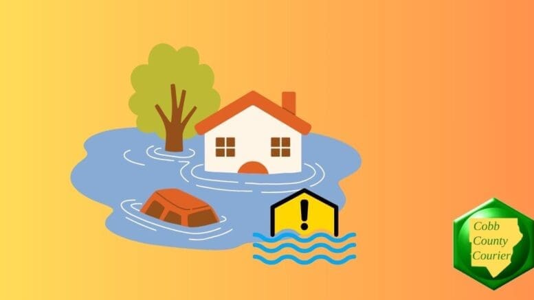
A flood watch is in effect for Cobb County and other north Georgia counties from 2 p.m. September 25 and extending through Friday afternoon as Tropical Storm Helene approaches. A widespread area of the state is expected to experience torrential rains (see the list of cities and counties below).
What is in the Flood Watch statement?
The following text is from the flood watch alert:
..FLOOD WATCH REMAINS IN EFFECT FROM 2 PM EDT THIS AFTERNOON
THROUGH FRIDAY AFTERNOON…
* WHAT…Flooding caused by excessive rainfall continues to be
possible.
* WHERE…Portions of central, east central, north central,
northeast, northwest, southeast, and west central Georgia,
including the following areas, in central Georgia, Baldwin, Bibb,
Bleckley, Butts, Crawford, Crisp, Dodge, Dooly, Houston, Jasper,
Jones, Laurens, Monroe, Montgomery, Peach, Pulaski, Putnam,
Telfair, Twiggs, Wheeler, Wilcox and Wilkinson. In east central
Georgia, Emanuel, Glascock, Greene, Hancock, Jefferson, Johnson,
Taliaferro, Treutlen, Warren, Washington and Wilkes. In north
central Georgia, Barrow, Cherokee, Clayton, Cobb, Dawson, DeKalb,
Douglas, Fannin, Fayette, Forsyth, Gilmer, Gwinnett, Hall, Henry,
Lumpkin, Morgan, Newton, North Fulton, Pickens, Rockdale, South
Fulton, Union and Walton. In northeast Georgia, Banks, Clarke,
Jackson, Madison, Oconee, Oglethorpe, Towns and White. In
northwest Georgia, Bartow, Carroll, Catoosa, Chattooga, Dade,
Floyd, Gordon, Haralson, Murray, Paulding, Polk, Walker and
Whitfield. In southeast Georgia, Toombs. In west central Georgia,
Chattahoochee, Coweta, Harris, Heard, Lamar, Macon, Marion,
Meriwether, Muscogee, Pike, Schley, Spalding, Stewart, Sumter,
Talbot, Taylor, Troup, Upson and Webster.
* WHEN…From 2 PM EDT this afternoon through Friday afternoon.
* IMPACTS…Excessive runoff may result in flooding of rivers,
creeks, streams, and other low-lying and flood-prone locations.
Creeks and streams may rise out of their banks. Flooding may occur
in poor drainage and urban areas.
* ADDITIONAL DETAILS…
– Initial areas of heavy rainfall are expected across mainly
north Georgia through tonight which could lead to localized
flash flooding. Widespread torrential rainfall is expected to
then overspread the area on Thursday into Thursday night as
Tropical Storm Helene approaches. Storm total rainfall of 4
to 8 inches with locally higher amounts is expected through
Friday.
– http://www.weather.gov/safety/flood
PRECAUTIONARY/PREPAREDNESS ACTIONS…
You should monitor later forecasts and be alert for possible Flood
Warnings. Those living in areas prone to flooding should be prepared
to take action should flooding develop.
What counties are included in the alert?
The following counties are included in the flood watch:
Baldwin, Banks, Barrow, Bartow, Bibb, Bleckley, Butts, Carroll, Catoosa, Chattooga, Chattahoochee, Cherokee, Clarke, Clayton, Cobb, Coweta, Crawford, Crisp, Dawson, DeKalb, Dade, Dooly, Douglas, Emanuel, Fannin, Fayette, Floyd, Forsyth, Franklin, Gilmer, Glascock, Gordon, Greene, Gwinnett, Hall, Hancock, Haralson, Harris, Heard, Henry, Houston, Jackson, Jasper, Jefferson, Johnson, Jones, Lamar, Laurens, Lumpkin, Macon, Madison, Marion, Meriwether, Monroe, Montgomery, Morgan, Murray, Muscogee, Newton, North Fulton, Oconee, Oglethorpe, Paulding, Peach, Pickens, Pike, Polk, Pulaski, Putnam, Rockdale, Schley, South Fulton, Spalding, Stewart, Sumter, Talbot, Taliaferro, Taylor, Telfair, Terrell, Toombs, Treutlen, Troup, Twiggs, Union, Upson, Walton, Warren, Washington, Webster, Wheeler, White, Whitfield, Wilcox, Wilkes, Wilkinson
Including the cities of:
Abbeville, Alamo, Americus, Athens, Atlanta, Barnesville, Blairsville, Blue Ridge, Bremen, Buena Vista, Butler, Calhoun, Cartersville, Carrollton, Cedartown, Chatsworth, Cleveland, Cochran, Columbus, Comer, Commerce, Conyers, Cordele, Crawford, Crawfordville, Cumming, Covington, Dallas, Dalton, Dahlonega, Dawsonville, Decatur, Douglasville, Dublin, East Point, Eastman, Eatonton, Ellaville, Ellijay, Fort Moore, Fort Oglethorpe, Fort Valley, Forsyth, Franklin, Gainesville, Gibson, Gray, Griffin, Greensboro, Hiawassee, Hawkinsville, Homer, Jackson, Jasper, Jeffersonville, LaFayette, Lawrenceville, Louisville, Lumpkin, Madison, Manchester, Marietta, McRae, Milledgeville, Montezuma, Monticello, Monroe, Montezuma, Mount Vernon, Newnan, Peachtree City, Pine Mountain, Preston, Riverdale, Roberts, Rome, Sandersville, Soperton, Sparta, Stockbridge, Summerville, Swainsboro, Talbotton, Thomaston, Toomsboro, Trenton, Vidalia, Vienna, Warner Robins, Warrenton, Washington, Watkinsville, West Point, Winder, Woodstock, Wrightsville, Zebulon
About the National Weather Service
The National Weather Service (NWS) is a part of the National Oceanic and Atmospheric Administration (NOAA).
The NWS describes its role as follows:
The National Weather Service (NWS) provides weather, water, and climate forecasts and warnings for the United States, its territories, adjacent waters and ocean areas, for the protection of life and property and the enhancement of the national economy. These services include Forecasts and Observations, Warnings, Impact-based Decision Support Services, and Education in an effort to build a Weather-Ready Nation. The ultimate goal is to have a society that is prepared for and responds to weather, water and climate events.
Read all the Cobb County Courier climate and weather coverage by following this link.