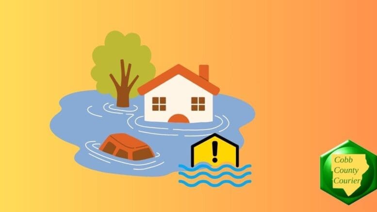
A Flood Watch has been issued for much of north, central and west-central Georgia from Thursday morning through late Friday night as multiple rounds of heavy rainfall are expected across the region. Forecasters warn that widespread rainfall totals of 2 to 4 inches, with localized amounts exceeding 5 inches, could lead to flash flooding, rising creeks and streams, and flooding in low-lying and poor-drainage areas.
Bonus for the more weather-curious among you … To read an article about interpreting a weather news report with some of the typical terminology defined, follow this link.
What is in the Flood Watch statement?
The National Weather Service alert states the following:
…FLOOD WATCH IN EFFECT FROM THURSDAY MORNING THROUGH LATE FRIDAY
NIGHT…
- WHAT…Flooding caused by excessive rainfall is possible.
- WHERE…Portions of central, east central, north central,
northeast, northwest, and west central Georgia, including the
following areas, in central Georgia, Baldwin, Bibb, Bleckley,
Butts, Crawford, Crisp, Dooly, Houston, Jasper, Jones, Monroe,
Peach, Pulaski, Putnam, Twiggs and Wilkinson. In east central
Georgia, Greene, Hancock and Washington. In north central Georgia,
Barrow, Cherokee, Clayton, Cobb, DeKalb, Douglas, Fayette, Forsyth,
Gwinnett, Henry, Morgan, Newton, North Fulton, Rockdale, South
Fulton and Walton. In northeast Georgia, Oconee. In northwest
Georgia, Bartow, Carroll, Haralson, Paulding and Polk. In west
central Georgia, Chattahoochee, Coweta, Harris, Heard, Lamar,
Macon, Marion, Meriwether, Muscogee, Pike, Schley, Spalding,
Stewart, Sumter, Talbot, Taylor, Troup, Upson and Webster.- WHEN…From Thursday morning through late Friday night.
- IMPACTS…Excessive runoff may result in flooding of rivers,
creeks, streams, and other low-lying and flood-prone locations.- ADDITIONAL DETAILS…
- Multiple rounds of rainfall are expected beginning Thursday
morning through Friday evening. A significantly moist tropical
environment across GA will support high rain rates and increased
chances for flash flooding. Widespread rainfall of 2 to 4 inches
will be possible with locally higher amounts of 5 inches or more.
Urban areas, and areas with poor drainage, will be the most
susceptible to flash flooding.- http://www.weather.gov/safety/flood
PRECAUTIONARY/PREPAREDNESS ACTIONS…
You should monitor later forecasts and be alert for possible Flood
Warnings. Those living in areas prone to flooding should be prepared
to take action should flooding develop.
Counties included in the alert
- Baldwin
- Barrow
- Bartow
- Bibb
- Bleckley
- Butts
- Carroll
- Chattahoochee
- Cherokee
- Clayton
- Cobb
- Coweta
- Crawford
- Crisp
- DeKalb
- Dooly
- Douglas
- Fayette
- Forsyth
- Greene
- Gwinnett
- Hancock
- Haralson
- Harris
- Heard
- Henry
- Houston
- Jasper
- Jones
- Lamar
- Macon
- Marion
- Meriwether
- Monroe
- Morgan
- Muscogee
- Newton
- North Fulton
- Oconee
- Paulding
- Peach
- Pike
- Polk
- Pulaski
- Putnam
- Rockdale
- Schley
- South Fulton
- Spalding
- Stewart
- Sumter
- Talbot
- Taylor
- Troup
- Twiggs
- Upson
- Walton
- Washington
- Webster
- Wilkinson