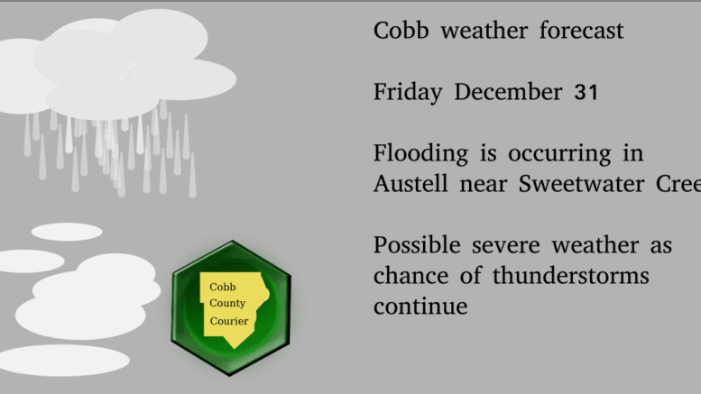
According to this morning’s report from the National Weather Service, the hazardous weather outlook continues for Cobb County and much of the rest of north Georgia, with flooding already occurring in Cobb County near Austell and in Douglas County around Sweetwater Creek.
A fog alert will be lifted by 9 a.m. Friday morning, but is expected for overnight also. Thunderstorms with possible heavy wind gusts are also forecast over the next few days.
The NWS outlook describes the situation as follows:
…FLOOD WARNING NOW IN EFFECT FROM THIS MORNING THROUGH THIS AFTERNOON…
* WHAT…Minor flooding is occurring. * WHERE…Sweetwater Creek near Austell.
* WHEN…Until this afternoon.
* IMPACTS…At 10 feet, Flood Stage is reached. Minor flooding occurs in the woodlands and fields upstream and downstream from the gage near the Interstate 20 bridge. Portions of a paintball playing field just downstream of the bridge begin to flood. Athletic fields in the Woodrow Wilson Park on Mount Vernon Road begin to flood due to water backing up in ditches.
* ADDITIONAL DETAILS… – At 7:00 AM EST Friday the stage was 10.1 feet and rising. – Recent Activity…The maximum river stage in the 24 hours ending at 7:00 AM EST Friday was 10.1 feet. – Forecast…The river is expected to fall below flood stage this morning and continue falling to 2.6 feet Tuesday evening. – Flood stage is 10 feet. – Flood History…This crest compares to a previous crest of 10.1 feet on 08/21/1992. – http://www.weather.gov/safety/flood
.DAY ONE…Today and Tonight… Areas of patchy dense fog are developing across Georgia and may persist well into the morning. Visibilities may quickly drop to a quarter mile or less in areas of dense fog.
A Dense Fog Advisory has been issued for portions of north and central Georgia until 9 AM. There is a chance for thunderstorms today for north Georgia. The primary threats will be gusty winds, periods of heavy rain, and occasional cloud-to-ground lightning
. .DAYS TWO THROUGH SEVEN…Saturday through Thursday… Additional rounds of thunderstorms are possible Saturday and Sunday.
Some of these storms may be severe with damaging wind gusts, periods of heavy rainfall, and an isolated brief tornado. There is also a possibility for some mixed wintry precipitation in far northern Georgia overnight Sunday evening into early Monday morning. Stay tuned to the latest forecasts throughout the week for more details
. .SPOTTER INFORMATION STATEMENT
… Spotter activation is not requested but spotters are encouraged to submit reports of severe weather through the web by going to weather.gov/atlanta. Please relay any information about observed severe weather to the NWS while following all local, state, and CDC guidelines.
7-day forecast
The following is the NWS 7-day weather forecast, centered on Dobbins ARB in Marietta:
Today A slight chance of showers, then a chance of showers and thunderstorms after 10 am. Areas of fog before 11am. Otherwise, cloudy, with a high near 71. South wind 5 to 10 mph. Chance of precipitation is 50%.
Tonight A chance of showers and thunderstorms between 2 am and 3 am, then a slight chance of showers. Mostly cloudy, with a low around 63. Southwest wind 5 to 10 mph. Chance of precipitation is 40%.
New Year’s Day A slight chance of showers, then a chance of showers and thunderstorms after 8 am. Mostly cloudy, with a high near 73. Southwest wind 10 to 15 mph, with gusts as high as 25 mph. Chance of precipitation is 50%.
Saturday Night Showers and possibly a thunderstorm. Low around 61. South wind around 15 mph, with gusts as high as 20 mph. Chance of precipitation is 90%.
Sunday Showers likely and possibly a thunderstorm. Mostly cloudy, with a high near 63. Northwest wind 10 to 15 mph, with gusts as high as 20 mph. Chance of precipitation is 60%.
Sunday Night A 20 percent chance of showers. Mostly cloudy, with a low around 29.
Monday Sunny, with a high near 45.
Monday Night Mostly clear, with a low around 31.TuesdaySunny, with a high near 49.
Tuesday Night Partly cloudy, with a low around 36.
Wednesday Partly sunny, with a high near 54.
Wednesday Night A 20 percent chance of showers. Mostly cloudy, with a low around 41.
Thursday A 40 percent chance of showers. Mostly cloudy, with a high near 57.
About the National Weather Service
The National Weather Service (NWS) is a part of the National Oceanic and Atmospheric Administration (NOAA).
The NWS describes its role as follows:
The National Weather Service (NWS) provides weather, water, and climate forecasts and warnings for the United States, its territories, adjacent waters and ocean areas, for the protection of life and property and the enhancement of the national economy. These services include Forecasts and Observations, Warnings, Impact-based Decision Support Services, and Education in an effort to build a Weather-Ready Nation. The ultimate goal is to have a society that is prepared for and responds to weather, water and climate events.
Read all the Cobb County Courier climate and weather coverage by following this link.