According to this morning’s report from the National Weather Service, there is a hazardous weather outlook for Cobb County and much of north Georgia with possible snow and sleet from Wednesday night through Thursday morning.
The NWS Hazardous Weather Outlook reads as follows:
This Hazardous Weather Outlook is for portions of North and Central Georgia.

.DAY ONE...This Afternoon and Tonight...

A WINTER WEATHER ADVISORY will go into effect late tonight for
north Georgia. A wintry mix of snow and sleet is likely with a
slight chance for light freezing rain. Total snow accumulations of
up to one inch is expected, with isolated higher amounts possible
at higher elevations.


.DAYS TWO THROUGH SEVEN...Thursday through Tuesday...

A WINTER WEATHER ADVISORY remains in effect for Thursday for much
of north Georgia. A wintry mix of snow and sleet is possible.

Friday morning temperatures drop into the teens and low 20s
with strong northwest winds. Wind chill values are anticipated to
drop into the single digits in the north Georgia mountains and
into the teens across most of north Georgia.


.SPOTTER INFORMATION STATEMENT...

Spotter activation is not requested but spotters are encouraged
to submit reports of winter weather through the web by going to
weather.gov/atlanta. Please relay any information about observed
severe weather to the NWS while following all local, state, and
CDC guidelines.
7-day forecast
The following is the NWS 7-day weather forecast, centered on Dobbins ARB in Marietta:
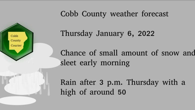
Overnight Wednesday to Thursday morning Increasing clouds, with a low around 37. West wind around 5 mph.
Thursday Rain likely, mainly after 3 pm. Cloudy, with a high near 50. Light and variable wind becoming southwest 5 to 10 mph in the afternoon. Winds could gust as high as 20 mph. Chance of precipitation is 60%. New precipitation amounts between a tenth and quarter of an inch possible.
Thursday Night A 30 percent chance of rain, mainly before 8 pm. Mostly cloudy, with a low around 21. Northwest wind 10 to 15 mph, with gusts as high as 20 mph.
Friday Sunny, with a high near 39. Northwest wind 5 to 10 mph, with gusts as high as 15 mph.
Friday Night Clear, with a low around 26. Northwest wind around 5 mph becoming calm.
Saturday Sunny, with a high near 49.
Saturday Night A 30 percent chance of showers. Mostly cloudy, with a low around 37.
Sunday Showers and possibly a thunderstorm. High near 59. Chance of precipitation is 90%.
Sunday Night Showers likely. Mostly cloudy, with a low around 34. Chance of precipitation is 60%.
Monday Mostly sunny, with a high near 47.
Monday Night Mostly clear, with a low around 25.
Tuesday Sunny, with a high near 46.
Tuesday Night Mostly clear, with a low around 27.
Wednesday Mostly sunny, with a high near 48.
About the National Weather Service
The National Weather Service (NWS) is a part of the National Oceanic and Atmospheric Administration (NOAA).
The NWS describes its role as follows:
The National Weather Service (NWS) provides weather, water, and climate forecasts and warnings for the United States, its territories, adjacent waters and ocean areas, for the protection of life and property and the enhancement of the national economy. These services include Forecasts and Observations, Warnings, Impact-based Decision Support Services, and Education in an effort to build a Weather-Ready Nation. The ultimate goal is to have a society that is prepared for and responds to weather, water and climate events.
Read all the Cobb County Courier climate and weather coverage by following this link.