We got a one-day reprieve from hazardous weather outlooks for Cobb County from the National Weather Service yesterday, but this morning they issued another one, although this one is pretty mild in comparison with the apocalyptic messages the NWS had been sending out over the past week.
According to the report from the National Weather Service, a cold front is headed toward Cobb County and much of north Georgia Thursday January 20, and might give a dusting of snow in parts of the county.
Don’t get the kids too excited, though. The likeliest place for snow to accumulate is in far northeast Georgia.
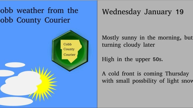
Today it will be mostly sunny in the morning,
Here’s the hazardous weather outlook from the NWS website:
Special Weather Statement
National Weather Service Peachtree City GA
422 AM EST Wed Jan 19 2022

GAZ001>009-011>016-019>025-027-030>039-041>062-066>076-078>086-
089>098-102>113-192130-
Dade-Walker-Catoosa-Whitfield-Murray-Fannin-Gilmer-Union-Towns-
Chattooga-Gordon-Pickens-Dawson-Lumpkin-White-Floyd-Bartow-
Cherokee-Forsyth-Hall-Banks-Jackson-Madison-Polk-Paulding-Cobb-
North Fulton-Gwinnett-Barrow-Clarke-Oconee-Oglethorpe-Wilkes-
Haralson-Carroll-Douglas-South Fulton-DeKalb-Rockdale-Walton-
Newton-Morgan-Greene-Taliaferro-Heard-Coweta-Fayette-Clayton-
Spalding-Henry-Butts-Jasper-Putnam-Hancock-Warren-Troup-
Meriwether-Pike-Upson-Lamar-Monroe-Jones-Baldwin-Washington-
Glascock-Jefferson-Harris-Talbot-Taylor-Crawford-Bibb-Twiggs-
Wilkinson-Johnson-Emanuel-Muscogee-Chattahoochee-Marion-Schley-
Macon-Peach-Houston-Bleckley-Laurens-Treutlen-Stewart-Webster-
Sumter-Dooly-Crisp-Pulaski-Wilcox-Dodge-Telfair-Wheeler-
Montgomery-Toombs-
422 AM EST Wed Jan 19 2022


...RAIN MAY CHANGE TO LIGHT SNOW AND LIGHT FREEZING RAIN THURSDAY
NIGHT THROUGH SATURDAY MORNING...

Precipitation associated with a slow moving cold front may fall
in the form of light snow or light freezing rain Thursday night
through Saturday morning.

There is still great uncertainty on how much and exactly where any
light snow or ice accumulations may occur. Based on recent
information, there is some indication that northeast Georgia is
the most likely area to receive light snow accumulations Friday
and Friday night and parts of middle and eastcentral Georgia are
most likely to see light ice accumulation Friday night.

There is also some indication that the overall amounts may be
slightly lower than projected earlier. However, overall confidence
is low and residents and emergency officials should remain alert
and be prepared for possible snow and/or ice accumulations,
especially over parts of middle and eastcentral Georgia. Even
small amounts of ice can cause significant impacts such as slick
roads and power outages due to icing on trees and powerlines.
7-day forecast
The following is the NWS 7-day weather forecast, centered on Dobbins ARB in Marietta:
Today Mostly sunny in the morning then becoming mostly cloudy. Highs in the upper 50s. South winds 5 to 15 mph.
Tonight Showers after midnight. Lows in the mid 40s. South winds 5 to 10 mph. Chance of rain 80 percent.
Thursday Rain in the morning, then a chance of rain with a slight chance of freezing rain in the afternoon. Highs in the upper 40s. Northwest winds 10 to 15 mph. Chance of precipitation 80 percent.
Thursday Night Mostly cloudy with a 20 percent chance of rain and freezing rain. Lows in the lower 30s. North winds 5 to 10 mph with gusts to around 25 mph.
Friday Cloudy with a chance of rain and freezing rain in the morning, then a chance of rain and snow in the afternoon. Highs in the upper 30s. Northeast winds 10 to 15 mph. Chance of precipitation 30 percent.
Friday Night Mostly cloudy. Lows in the mid 20s.
Saturday Mostly sunny. Highs around 40.
Saturday Night Partly cloudy. Lows in the mid 20s.
Sunday Sunny. Highs in the mid 40s.
Sunday Night Clear. Lows in the upper 20s.
Monday Sunny. Highs in the upper 40s.
Monday Night Partly cloudy. Lows in the upper 20s.
Tuesday Mostly sunny. Highs in the upper 40s.
About the National Weather Service
The National Weather Service (NWS) is a part of the National Oceanic and Atmospheric Administration (NOAA).
The NWS describes its role as follows:
The National Weather Service (NWS) provides weather, water, and climate forecasts and warnings for the United States, its territories, adjacent waters and ocean areas, for the protection of life and property and the enhancement of the national economy. These services include Forecasts and Observations, Warnings, Impact-based Decision Support Services, and Education in an effort to build a Weather-Ready Nation. The ultimate goal is to have a society that is prepared for and responds to weather, water and climate events.
Read all the Cobb County Courier climate and weather coverage by following this link.