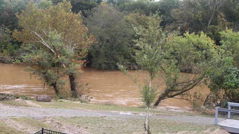
The National Weather Service issued a Hazardous Weather Outlook that mentioned the possibility of localized flooding in Cobb and other north Georgia counties north of I-20 as thunderstorms start moving our way this afternoon.
Here is the outlook reprinted from the NWS outlook:
Hazardous Weather Outlook National Weather Service Peachtree City GA 519 AM EST Tue Mar 8 2022
GAZ001>009-011>016-019>025-027-030>039-041>062-066>076-078>086- 089>098-102>113-091030- Baldwin-Banks-Barrow-Bartow-Bibb-Bleckley-Butts-Carroll-Catoosa- Chattahoochee-Chattooga-Cherokee-Clarke-Clayton-Cobb-Coweta- Crawford-Crisp-Dade-Dawson-DeKalb-Dodge-Dooly-Douglas-Emanuel- Fannin-Fayette-Floyd-Forsyth-Gilmer-Glascock-Gordon-Greene- Gwinnett-Hall-Hancock-Haralson-Harris-Heard-Henry-Houston-Jackson- Jasper-Jefferson-Johnson-Jones-Lamar-Laurens-Lumpkin-Macon- Madison-Marion-Meriwether-Monroe-Montgomery-Morgan-Murray- Muscogee-Newton-North Fulton-Oconee-Oglethorpe-Paulding-Peach- Pickens-Pike-Polk-Pulaski-Putnam-Rockdale-Schley-South Fulton- Spalding-Stewart-Sumter-Talbot-Taliaferro-Taylor-Telfair-Toombs- Towns-Treutlen-Troup-Twiggs-Union-Upson-Walker-Walton-Warren- Washington-Webster-Wheeler-White-Whitfield-Wilcox-Wilkes- Wilkinson- 519 AM EST Tue Mar 8 2022
This Hazardous Weather Outlook is for portions of North and Central Georgia.
.DAY ONE…Today and Tonight…
Isolated thunderstorms are expected over portions of north and west Georgia this afternoon and tonight. Periods of heavy rain are also expected tonight, mainly north of I-20, which could lead to localized flooding concerns.
.DAYS TWO THROUGH SEVEN…Wednesday through Monday…
Isolated to scattered showers and thunderstorms are possible across central Georgia and portions of north Georgia from Wednesday through Friday. A few storms on Wednesday afternoon and evening may become strong to severe, capable of producing strong, gusty winds.
Temperatures will drop into the upper 20s to mid 30s over portions of north and west Georgia on Saturday morning, and low 20s to near 30 over the entire north and central Georgia area on Sunday morning. Frost/freeze conditions are expected.
About the National Weather Service
The National Weather Service (NWS) is a part of the National Oceanic and Atmospheric Administration (NOAA).
The NWS describes its role as follows:
The National Weather Service (NWS) provides weather, water, and climate forecasts and warnings for the United States, its territories, adjacent waters and ocean areas, for the protection of life and property and the enhancement of the national economy. These services include Forecasts and Observations, Warnings, Impact-based Decision Support Services, and Education in an effort to build a Weather-Ready Nation. The ultimate goal is to have a society that is prepared for and responds to weather, water and climate events.
Read all the Cobb County Courier climate and weather coverage by following this link.