By Larry Felton Johnson, Editor and Publisher
I’ve resumed my practice of taking long walks, mostly to try to get down to the weight I was at 25 years old. I have thirteen pounds to go, and with an adjusted diet and walks of between three and seven miles per day, I seem to be losing at a rate of about 1.5 pounds per week.
Over the past few days, the walks have allowed me to scope out the effects of Hurricane/Tropical Storm Helene in my immediate part of Mableton.
This part of Mableton and adjacent parts of Smyrna were spared the worst flooding. I haven’t checked out the parts of Nickajack Creek near our house yet, so there might be severe damage I’m not yet aware of, but the streets here haven’t looked much different than they do after a normal downpour.
Not all areas of Cobb County fared as well.
The Fontaine Road area of Mableton was reportedly the site of serious flooding. Sweetwater Creek near Austell, Sope Creek near Marietta, and the Columns Drive area in East Cobb also experienced flooding.
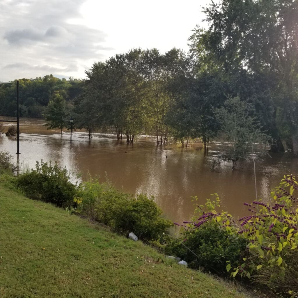
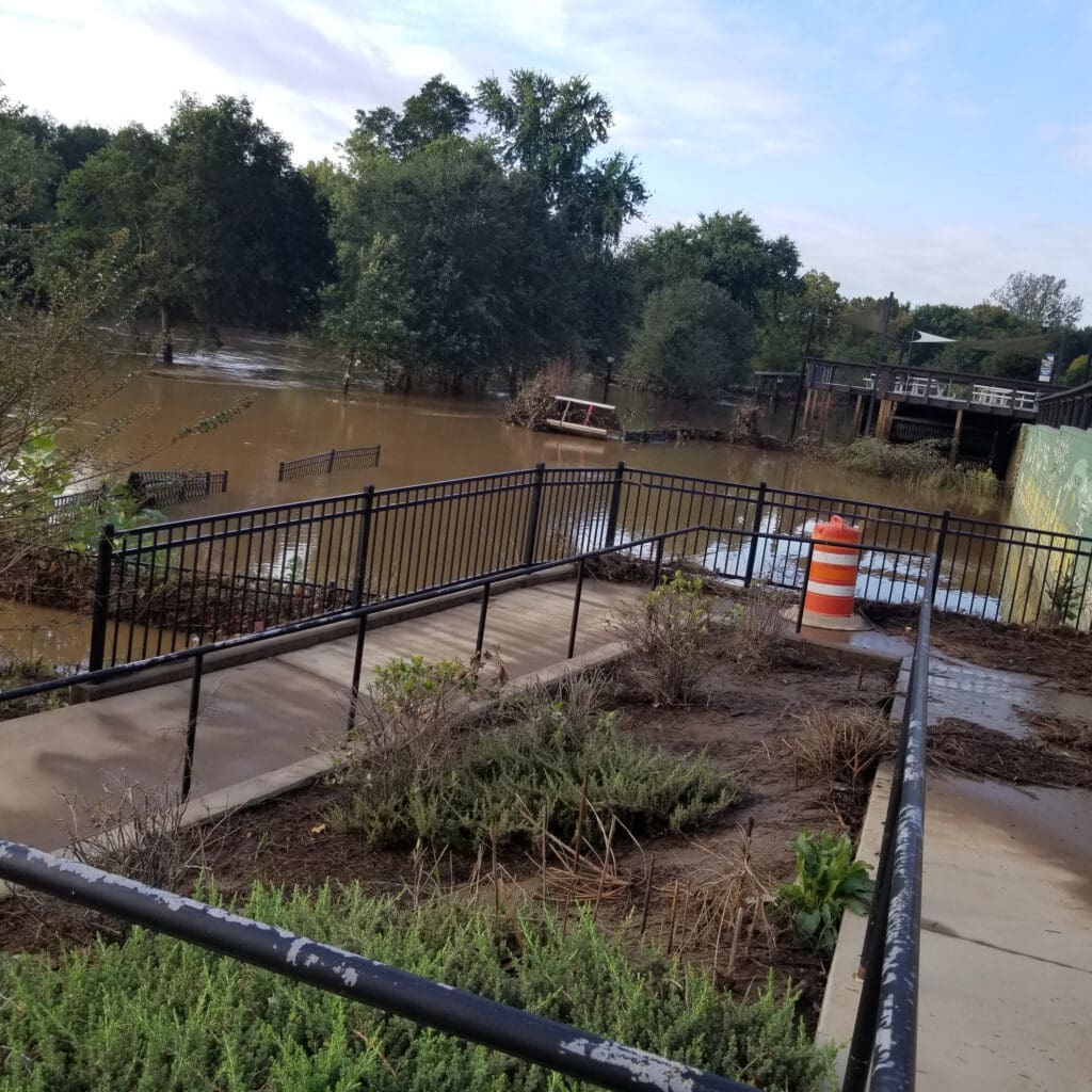
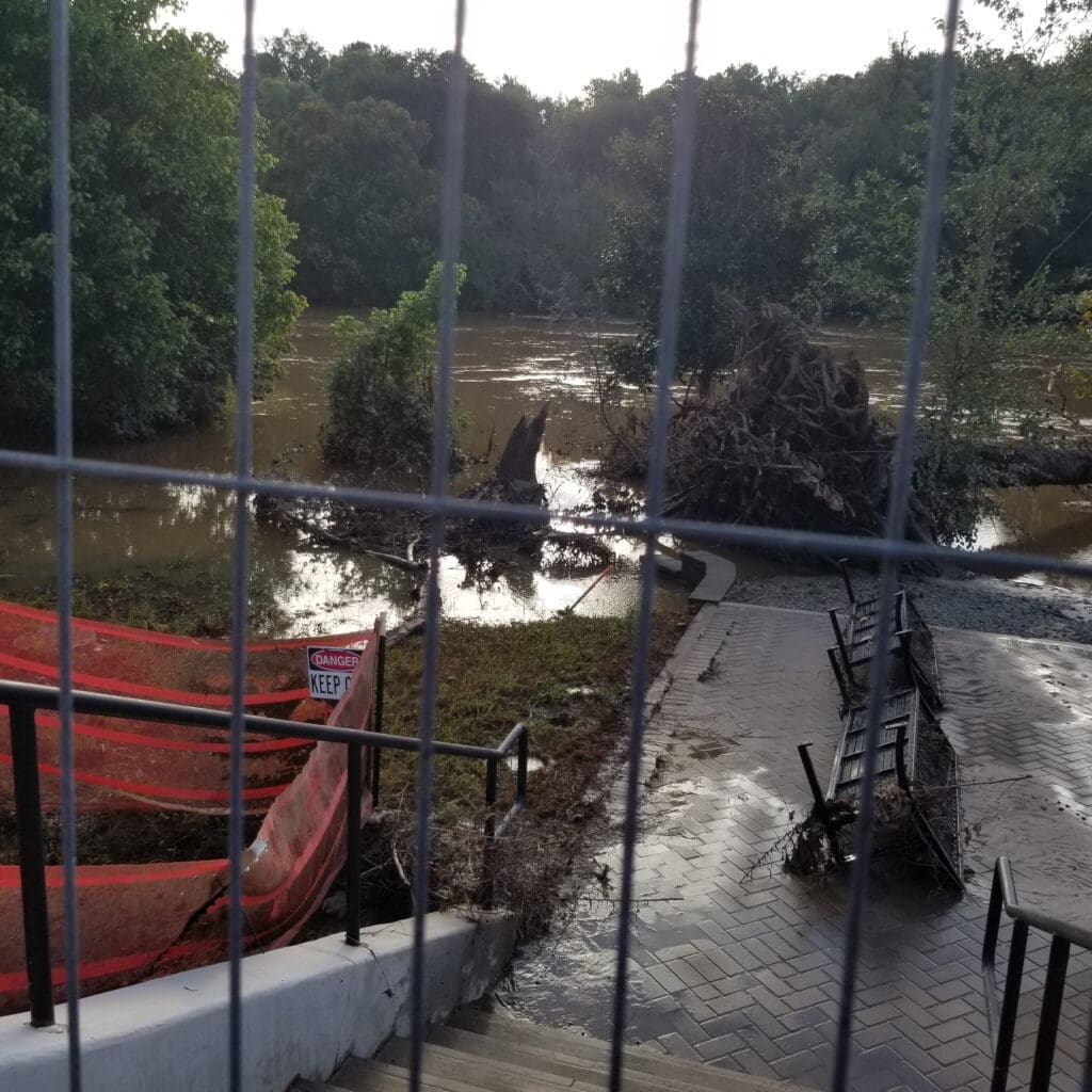
But the one thing I’ve seen on my walks that was significantly affected in this vicinity was the width of the Chattahoochee River in Smyrna at Riverview Landing. The river became much, much wider. Of course this is only temporary, and the river will recede, but when I took the photos below it was striking.
Even quite a few years after Smyrna annexed the area along Riverview Road, I continue to encounter many people who don’t realize that Smyrna has a riverfront. Well, it does, and it is a very nice one under normal circumstances, with several options to view the usually narrow part of the river just south of I-285 and north of Veterans Memorial Highway.
I’ve walked over to the river twice in the past four days: once before Helene arrived and again yesterday.
Here are a few photos of Helene’s aftermath.

This first photo clearly shows how much wider the river became after the storm. Those trees are on what is normally the west bank of the Chattahoochee River.

Here’s another view of the same trees, showing how much the river encroached on structures around Riverview Landing. Note the metal fencing to the left is now partially submerged and that the wall with the mural to the right is now directly on the edge of the river.

This last photo shows the roots of a downed tree. This tree was obviously well away from the usual river level, as evidenced by how close it is to the patio area.
Today I plan to walk over to Nickajack Park off Oakdale Road and see how it fared.
