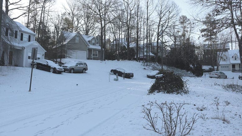
The Georgia Department of Transportation, the National Weather Service and Cobb County have all been active on social media warning of the incoming wintry storm.
GDOT tweeted this, with a link to their video by GDOT Media Strategist Natalie Dale describing the department’s winter weather preparations:
GDOT Media Strategist Natalie Dale provides information about the threat of wintry conditions this weekend and how our crews are preparing for this winter storm. https://t.co/DDt3pLW5Wa#WinterWeather #DriveAlert@GDOTATL @GDOTNW @GDOTNE @511Georgia @GDOTEastTraffic @GDOTWest
— Georgia DOT (@GADeptofTrans) January 14, 2022
The Atlanta office of the National Weather Service tweeted the following:
Overnight, our forecast has not changed much. The only addition to our winter storm watch was Pickens county. Significant impacts still expected across northeast GA Saturday night into Sunday, with impacts still possible across the rest of north and northwestern GA. #gawx https://t.co/7i7JyjFtBI
— NWS Atlanta (@NWSAtlanta) January 14, 2022
And Cobb County government tweeted this video message from Cobb County Communications Director Ross Cavitt about the county DOT’s preparations.
Background
Early this morning the National Weather Service posted the following Special Weather Statement:
…SNOW AND ICE ACCUMULATIONS LIKELY OVER NORTH GEORGIA SATURDAY NIGHT AND SUNDAY…
…BLACK ICE LIKELY SUNDAY NIGHT AND MONDAY MORNING…
A strong upper level storm system will combine with very cold temperatures aloft and near the ground to produce wintry precipitation this weekend.
The rain will begin mixing with and changing to snow after midnight on Saturday night and switch to mainly snow over far northeast Georgia with a mix of rain, freezing rain, sleet and snow over the rest of north Georgia during the day Sunday. Light snow or snow flurries will be ending from west to east Sunday evening.
The heaviest snow will fall on Sunday over far northeast Georgia, where a Winter Storm Watch is in effect and up to 6 inches of snow is expected with higher amounts possible at elevations above 2000 feet. Elsewhere across north Georgia north of I-20, up to 2 inches of sleet and snow and up to two-tenths (0.20) of an inch of ice will be possible.
South of I-20, there may be some snow or sleet mixed with the rain but little to no accumulation is expected.
After the precipitation clears out Sunday night, temperatures will fall into the 20s and any remaining liquid runoff from earlier precipitation will likely freeze on roadways across north Georgia. These icy spots will persist well into Monday morning. Stay tuned to NOAA Weather Radio or your preferred local media outlet for further updates from the National Weather Service.
About the National Weather Service
The National Weather Service (NWS) is a part of the National Oceanic and Atmospheric Administration (NOAA).
The NWS describes its role as follows:
The National Weather Service (NWS) provides weather, water, and climate forecasts and warnings for the United States, its territories, adjacent waters and ocean areas, for the protection of life and property and the enhancement of the national economy. These services include Forecasts and Observations, Warnings, Impact-based Decision Support Services, and Education in an effort to build a Weather-Ready Nation. The ultimate goal is to have a society that is prepared for and responds to weather, water and climate events.
Read all the Cobb County Courier climate and weather coverage by following this link.