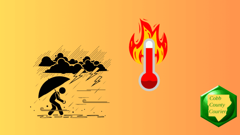
The National Weather Service has issued a hazardous weather outlook for north and central Georgia, warning of high heat indices and the potential for strong thunderstorms and flooding over the coming days.
The outlook was issued for Friday, August 1, with potential for heavy rain and flooding beginning Monday.
Bonus for the more weather-curious among you … To read an article about interpreting a weather news report with some of the typical terminology defined, follow this link.
What is in the statement?
The statement gives the following details:
This Hazardous Weather Outlook is for north and central Georgia.
.DAY ONE…Tonight…
No hazardous weather expected.
.DAYS TWO THROUGH SEVEN…Friday through Wednesday…
One more day of hot and humid weather will occur in central
Georgia on Friday. Heat indices near 105 degree are possible
between noon and 8 PM.Scattered afternoon and evening thunderstorms will occur on
Friday. A couple of storms could be strong with wind gusts in the
40 to 60 mph range. Additional storm activity is possible between
Friday night and Wednesday.Periods of heavy rain are expected at the start of next week with
some areas seeing 3+ inches of rain. Some flooding concerns are
possible.
What counties are affected?
The following counties are included in the hazardous weather outlook:
Baldwin, Banks, Barrow, Bartow, Bibb, Bleckley, Butts, Carroll, Catoosa, Chattahoochee, Chattooga, Cherokee, Clarke, Clayton, Cobb, Coweta, Crawford, Crisp, Dade, Dawson, DeKalb, Dodge, Dooly, Douglas, Emanuel, Fannin, Fayette, Floyd, Forsyth, Gilmer, Glascock, Gordon, Greene, Gwinnett, Hall, Hancock, Haralson, Harris, Heard, Henry, Houston, Jackson, Jasper, Jefferson, Johnson, Jones, Lamar, Laurens, Lumpkin, Macon, Madison, Marion, Meriwether, Monroe, Montgomery, Morgan, Murray, Muscogee, Newton, North Fulton, Oconee, Oglethorpe, Paulding, Peach, Pickens, Pike, Polk, Pulaski, Putnam, Rockdale, Schley, South Fulton, Spalding, Stewart, Sumter, Talbot, Taliaferro, Taylor, Telfair, Toombs, Towns, Treutlen, Troup, Twiggs, Union, Upson, Walker, Walton, Warren, Washington, Webster, Wheeler, White, Whitfield, Wilcox, Wilkes, Wilkinson
What is meant by “isolated” and “scattered”?
The NWS defines “isolated” as follows:
A National Weather Service convective precipitation descriptor for a 10 percent chance of measurable precipitation (0.01 inch). Isolated is used interchangeably with few.
“Scattered” has the following definition:
When used to describe precipitation (for example: “scattered showers”) – Area coverage of convective weather affecting 30 percent to 50 percent of a forecast zone(s).
Isolated thunderstorms and scattered thunderstorms are two terms used to describe different distributions of thunderstorm activity within a particular area. The main difference lies in the extent of coverage and how the thunderstorms are spatially distributed:
- Isolated Thunderstorms:
- Relatively rare occurrences that happen sporadically and are generally confined to a limited area.
- Few and far between, with significant gaps between individual storm cells.
- Typically cover less than 20% of the forecast area.
- Can still be intense with heavy rain, lightning, gusty winds, and possibly hail.
- Scattered Thunderstorms:
- More widespread than isolated thunderstorms and cover a larger portion of the forecast area.
- Numerous individual thunderstorms develop, but they are not continuous or widespread enough to be a “line” or “cluster” of storms.
- Generally cover between 30% to 50% of the forecast area.
- Still leave considerable gaps between storm cells, and not everyone in the area will necessarily experience a thunderstorm.
In summary, isolated thunderstorms are fewer in number and more localized, covering a smaller area with significant gaps between storms, while scattered thunderstorms are more widespread, covering a larger area with numerous individual storms occurring somewhat randomly across the forecast area.
About the National Weather Service
The National Weather Service (NWS) is a part of the National Oceanic and Atmospheric Administration (NOAA).
The NWS describes its role as follows:
“The National Weather Service (NWS) provides weather, water, and climate forecasts and warnings for the United States, its territories, adjacent waters and ocean areas, for the protection of life and property and the enhancement of the national economy.
“These services include Forecasts and Observations, Warnings, Impact-based Decision Support Services, and Education in an effort to build a Weather-Ready Nation. The ultimate goal is to have a society that is prepared for and responds to weather, water and climate events.”
We need a clearer method to communicate weather info. Please. Dates and times tend to get garbled especially reprinting other reports. Heat indexes are not as helpful as a plain old graph.
I agree about the dates and times, but it’s trickier than you might think. For quite some time I put things like “Saturday, August 2” in the headlines, but it takes up so much of the limited headline space for web visibility there’s not much room for a brief description of the report.
I’ll play around with it and see if I can figure out a way of making the date/time alignment clearer without traffic to the reports plummeting.
As for the heat index, it’s really important. The body doesn’t regulate heat and moisture by just temperature. When the humidity and heat go up at the same time, the risk of heat-related medical issues rise too.
Here the problem is rising heat index, in the Southwestern desert, where I spent some time in the late 70s early 80s they have the extreme opposite problem. Since the heat index is often lower than the nominal temperature, dehydration sneaks up on you, since it doesn’t feel like 115 degrees.