National Weather Service issued a special weather statement for Cobb County and much of north Georgia warning of hazardous road conditions due to black ice and a mixture of snow and sleet over the weekend.
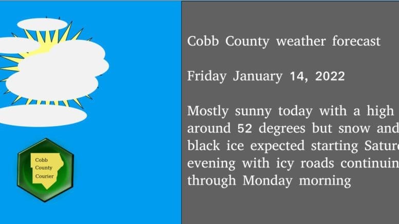
We should have mostly sunny skies and a high near 52 degrees during the day on Friday January 14.
The NWS published the following forecast in their special weather alert:
…SNOW AND ICE ACCUMULATIONS LIKELY OVER NORTH GEORGIA SATURDAY NIGHT AND SUNDAY…
…BLACK ICE LIKELY SUNDAY NIGHT AND MONDAY MORNING…
A strong upper level storm system will combine with very cold temperatures aloft and near the ground to produce wintry precipitation this weekend.
The rain will begin mixing with and changing to snow after midnight on Saturday night and switch to mainly snow over far northeast Georgia with a mix of rain, freezing rain, sleet and snow over the rest of north Georgia during the day Sunday. Light snow or snow flurries will be ending from west to east Sunday evening.
The heaviest snow will fall on Sunday over far northeast Georgia, where a Winter Storm Watch is in effect and up to 6 inches of snow is expected with higher amounts possible at elevations above 2000 feet. Elsewhere across north Georgia north of I-20, up to 2 inches of sleet and snow and up to two-tenths (0.20) of an inch of ice will be possible.
South of I-20, there may be some snow or sleet mixed with the rain but little to no accumulation is expected.
After the precipitation clears out Sunday night, temperatures will fall into the 20s and any remaining liquid runoff from earlier precipitation will likely freeze on roadways across north Georgia. These icy spots will persist well into Monday morning. Stay tuned to NOAA Weather Radio or your preferred local media outlet for further updates from the National Weather Service.
7-day forecast
The following is the NWS 7-day weather forecast, centered on Dobbins ARB in Marietta:
Today Mostly sunny, with a high near 52. Northwest wind around 10 mph, with gusts as high as 15 mph.
Tonight Mostly cloudy, with a low around 36. Northwest wind around 5 mph becoming calm in the evening.
Saturday A 30 percent chance of rain, mainly after 5pm. Cloudy, with a high near 50. East wind 5 to 10 mph, with gusts as high as 15 mph.
Saturday Night Rain showers before 3am, then rain and snow showers. Low around 32. East wind 10 to 15 mph, with gusts as high as 25 mph. Chance of precipitation is 90%.
Sunday Rain, snow, freezing rain, and sleet before 1 p.m., then snow and sleet likely between 1 p.m. and 4 p.m., then snow likely after 4 p.m. High near 34. East wind 15 to 20 mph becoming north 5 to 10 mph in the afternoon. Winds could gust as high as 30 mph. Chance of precipitation is 80%.
Sunday Night Snow showers likely before 7 p.m. Mostly cloudy, with a low around 25. Chance of precipitation is 60%.
M.L.King Day Mostly sunny, with a high near 36.
Monday Night Mostly clear, with a low around 21.
Tuesday Sunny, with a high near 48.
Tuesday Night Partly cloudy, with a low around 30.
Wednesday A 20 percent chance of rain. Partly sunny, with a high near 55.
Wednesday Night A 40 percent chance of rain. Mostly cloudy, with a low around 36.
ThursdayA 40 percent chance of rain. Mostly cloudy, with a high near 47.
About the National Weather Service
The National Weather Service (NWS) is a part of the National Oceanic and Atmospheric Administration (NOAA).
The NWS describes its role as follows:
The National Weather Service (NWS) provides weather, water, and climate forecasts and warnings for the United States, its territories, adjacent waters and ocean areas, for the protection of life and property and the enhancement of the national economy. These services include Forecasts and Observations, Warnings, Impact-based Decision Support Services, and Education in an effort to build a Weather-Ready Nation. The ultimate goal is to have a society that is prepared for and responds to weather, water and climate events.
Read all the Cobb County Courier climate and weather coverage by following this link.