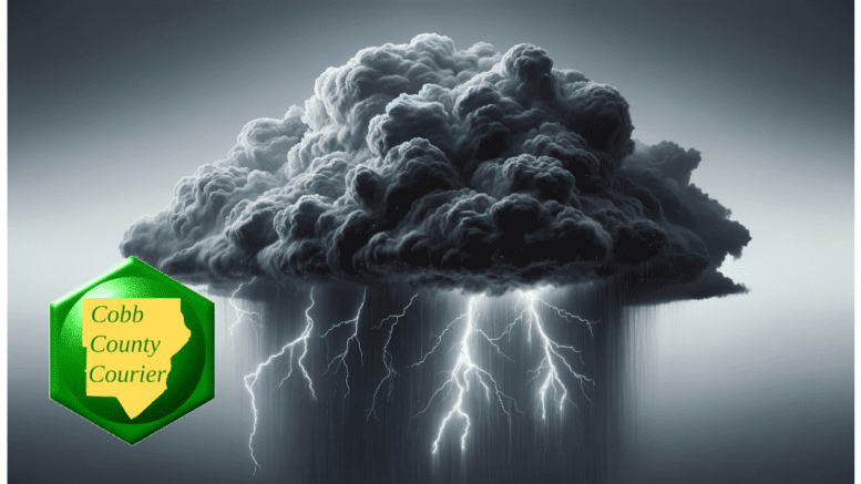
The National Weather Service issued a hazardous weather outlook for Cobb County and other parts of north and central Georgia. Widespread rain with a few embedded thunderstorms is expected on Saturday, May 18. Some of those storms could become severe.
In this article, you will learn:
- What is in today’s National Weather Service alert
- What counties are included in the alert
- What is meant by the terms “isolated” and “scattered”
- About the National Weather Service and what it does
What is in the statement?
The statement gives the following details (Note: the alert was issued Friday evening, so the second section, days two through seven, is relevant for Saturday):
This Hazardous Weather Outlook is for portions of North and Central Georgia.
.DAY ONE…Tonight…
Widespread rain with a few embedded thunderstorms will continue
south of a Columbus to Macon line through the remainder of the
evening hours. Any thunderstorm that does develop is expected to
remain below severe limits. More shower activity may begin to
redevelop farther north after midnight, but thunderstorms are not
expected.
.DAYS TWO THROUGH SEVEN…Saturday through Thursday…
Widespread showers and scattered storms are expected Saturday. Some
storms may become strong to severe generally along and south of I-85
on Saturday. Damaging wind gusts will be the primary hazard with low
end probabilities for hail and a brief tornado.
Repeated instances of heavy rainfall through the weekend could lead
to localized flash flooding across portions of north and central
Georgia. 1.0 to 2.25″ of rain are forecast but localized higher
amounts are possible in the strongest storms.
Isolated to scattered thunderstorms could occur Sunday and Wednesday
next week.
What counties are affected?
The following counties are included in the hazardous weather outlook:
Baldwin, Banks, Barrow, Bartow, Bibb, Bleckley, Butts, Carroll, Catoosa, Chattahoochee, Chattooga, Cherokee, Clarke, Clayton, Cobb, Coweta, Crawford, Crisp, Dade, Dawson, DeKalb, Dodge, Dooly, Douglas, Emanuel, Fannin, Fayette, Floyd, Forsyth, Gilmer, Glascock, Gordon, Greene, Gwinnett, Hall, Hancock, Haralson, Harris, Heard, Henry, Houston, Jackson, Jasper, Jefferson, Johnson, Jones, Lamar, Laurens, Lumpkin, Macon, Madison, Marion, Meriwether, Monroe, Montgomery, Morgan, Murray, Muscogee, Newton, North Fulton, Oconee, Oglethorpe, Paulding, Peach, Pickens, Pike, Polk, Pulaski, Putnam, Rockdale, Schley, South Fulton, Spalding, Stewart, Sumter, Talbot, Taliaferro, Taylor, Telfair, Toombs, Towns, Treutlen, Troup, Twiggs, Union, Upson, Walker, Walton, Warren, Washington, Webster, Wheeler, White, Whitfield, Wilcox, Wilkes, Wilkinson
What is meant by “isolated” and “scattered”?
The NWS defines “isolated” as follows:
A National Weather Service convective precipitation descriptor for a 10 percent chance of measurable precipitation (0.01 inch). Isolated is used interchangeably with few.
“Scattered” has the following definition:
When used to describe precipitation (for example: “scattered showers”) – Area coverage of convective weather affecting 30 percent to 50 percent of a forecast zone (s).
Isolated thunderstorms and scattered thunderstorms are two terms used to describe different distributions of thunderstorm activity within a particular area. The main difference lies in the extent of coverage and how the thunderstorms are spatially distributed:
- Isolated Thunderstorms:
- Isolated thunderstorms are relatively rare occurrences that happen sporadically and are generally confined to a limited area.
- These thunderstorms are often characterized by being few and far between, with significant gaps between individual storm cells.
- Typically, isolated thunderstorms cover less than 20% of the forecast area.
- Despite their isolated nature, these storms can still be intense and may produce heavy rain, lightning, gusty winds, and possibly hail.
- Scattered Thunderstorms:
- Scattered thunderstorms are more widespread than isolated thunderstorms and cover a larger portion of the forecast area.
- In a scattered thunderstorm scenario, numerous individual thunderstorms develop, but they are not continuous or widespread enough to be classified as a “line” or “cluster” of storms.
- Scattered thunderstorms generally cover between 30% to 50% of the forecast area.
- Although scattered thunderstorms are more widespread, they still leave considerable gaps between storm cells, and not everyone within the forecast area will necessarily experience a thunderstorm.
In summary, isolated thunderstorms are fewer in number and more localized, covering a smaller area with significant gaps between storms, while scattered thunderstorms are more widespread, covering a larger area with numerous individual storms occurring somewhat randomly across the forecast area.
About the National Weather Service
The National Weather Service (NWS) is a part of the National Oceanic and Atmospheric Administration (NOAA).
The NWS describes its role as follows:
“The National Weather Service (NWS) provides weather, water, and climate forecasts and warnings for the United States, its territories, adjacent waters and ocean areas, for the protection of life and property and the enhancement of the national economy.
“These services include Forecasts and Observations, Warnings, Impact-based Decision Support Services, and Education in an effort to build a Weather-Ready Nation. The ultimate goal is to have a society that is prepared for and responds to weather, water and climate events.”
>>> Read all the Cobb County Courier climate and weather coverage by following this link.