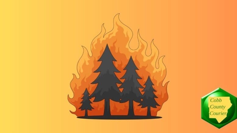
Dangerous fire weather conditions are expected this afternoon into the evening across parts of north and central Georgia, as low relative humidity, gusty northwest winds, and dry fuels combine to significantly increase the risk of wildfires.
The National Weather Services issued a Special Weather Statement for Saturday, February 7.
Bonus for the more weather-curious among you … To read an article about interpreting a weather news report with some of the typical terminology defined, follow this link.
Why does low relative humidity increase the danger of fire?
The National Park Service published the following explanation of why low relative humidity increases the danger of fires:
“Relative humidity is important because dead forest fuels and the air are always exchanging moisture. Low humidity takes moisture from the fuels, and fuels in turn, take moisture from the air when the humidity is high.
“Light fuels, such as grass and pine needles, gain and lose moisture quickly with changes in relative humidity. When the RH drops, fire behavior increases because these fine fuels become drier.
“Heavy fuels, on the other hand, respond to humidity changes more slowly. To see significant changes in heavy fuel moisture, there must be significant moisture, usually from more than a single storm.”
What is in the statement?
The statement gives the following details:
…HIGH FIRE DANGER CONDITIONS THIS AFTERNOON INTO THE EVENING
FOR PARTS OF NORTH AND CENTRAL GEORGIA DUE TO LOW RELATIVE
HUMIDITIES…Relative Humidities of 25 percent or less can be expected for 4
or more hours this afternoon into the evening. Winds will be
Northwest at 10 to 15 MPH with gusts as high as 25 MPH. Isolated
gusts and stronger winds are possible across the higher elevations
of NE Georgia, where a Wind Advisory is in effect for this
afternoon.With dry fuels, high fire danger conditions can be expected.
Please refer to your local burn permitting authorities
whether you may burn outdoors. If you do burn outside, use
extreme caution.
What counties are affected?
The following counties are included in the hazardous weather outlook:
Dade, Walker, Catoosa, Whitfield, Murray, Fannin, Gilmer, Union, Towns, Chattooga, Gordon, Pickens, Dawson, Lumpkin, White, Floyd, Bartow, Cherokee, Forsyth, Hall, Banks, Jackson, Madison, Polk, Paulding, Cobb, North Fulton, Gwinnett, Barrow, Clarke, Oconee, Oglethorpe, Wilkes, Haralson, Carroll, Douglas, South Fulton, DeKalb, Rockdale, Walton, Newton, Morgan, Greene, Taliaferro, Heard, Coweta, Fayette, Clayton, Spalding, Henry, Butts, Jasper, Putnam, Hancock, Warren, Troup, Meriwether, Pike, Upson, Lamar, Monroe, Jones, Baldwin, Washington, Glascock, Jefferson, Bibb, Twiggs, Wilkinson
About the National Weather Service
The National Weather Service (NWS) is a part of the National Oceanic and Atmospheric Administration (NOAA).
The NWS describes its role as follows:
The National Weather Service (NWS) provides weather, water, and climate forecasts and warnings for the United States, its territories, adjacent waters and ocean areas, for the protection of life and property and the enhancement of the national economy.
These services include Forecasts and Observations, Warnings, Impact-based Decision Support Services, and Education in an effort to build a Weather-Ready Nation. The ultimate goal is to have a society that is prepared for and responds to weather, water and climate events.