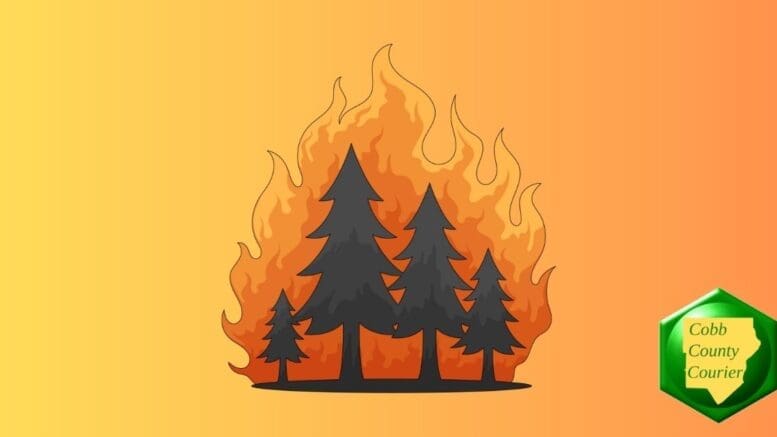
Dry conditions and elevated wildfire risk are the main concerns across north and central Georgia today and tonight, with a Fire Danger Statement in effect this afternoon and evening. Hazardous fire weather conditions are expected to continue through much of next week. Scattered thunderstorms are also possible in north Georgia and parts of central Georgia Saturday night into early Sunday morning.
Georgia and the Carolinas are under record drought conditions. In Cobb County, East Cobb in particular has been particularly hard-hit by the drought, classified as “extreme drought.”
The National Weather Service issued a hazardous weather outlook for north and central Georgia for Friday, April 17, 2026.
Bonus for the more weather-curious among you … To read an article about interpreting a weather news report with some of the typical terminology defined, follow this link.
What does the Hazardous Weather Outlook state?
This Hazardous Weather Outlook is for north and central Georgia.
.DAY ONE…Today and Tonight…
A Fire Danger Statement is in effect this afternoon and evening
for portions of north and central Georgia. Very dry vegetation
and low relative humidity will support high fire danger
conditions. Outdoor burning is strongly discouraged..DAYS TWO THROUGH SEVEN…Saturday through Thursday…
Hazardous fire weather conditions are expected through much of the
next week in north and central Georgia amid very dry antecedent
conditions.Scattered thunderstorms will be possible in north Georgia and
portions of central Georgia Saturday night into early Sunday
morning.
Counties included in the alert
- Baldwin
- Banks
- Barrow
- Bartow
- Bibb
- Bleckley
- Butts
- Carroll
- Catoosa
- Chattahoochee
- Chattooga
- Cherokee
- Clarke
- Clayton
- Cobb
- Coweta
- Crawford
- Crisp
- Dade
- Dawson
- DeKalb
- Dodge
- Dooly
- Douglas
- Emanuel
- Fannin
- Fayette
- Floyd
- Forsyth
- Gilmer
- Glascock
- Gordon
- Greene
- Gwinnett
- Hall
- Hancock
- Haralson
- Harris
- Heard
- Henry
- Houston
- Jackson
- Jasper
- Jefferson
- Johnson
- Jones
- Lamar
- Laurens
- Lumpkin
- Macon
- Madison
- Marion
- Meriwether
- Monroe
- Montgomery
- Morgan
- Murray
- Muscogee
- Newton
- North Fulton
- Oconee
- Oglethorpe
- Paulding
- Peach
- Pickens
- Pike
- Polk
- Pulaski
- Putnam
- Rockdale
- Schley
- South Fulton
- Spalding
- Stewart
- Sumter
- Talbot
- Taliaferro
- Taylor
- Telfair
- Toombs
- Towns
- Treutlen
- Troup
- Twiggs
- Union
- Upson
- Walker
- Walton
- Warren
- Washington
- Webster
- Wheeler
- White
- Whitfield
- Wilcox
- Wilkes
- Wilkinson
What is meant by “isolated” and “scattered”?
The NWS defines “isolated” as follows:
A National Weather Service convective precipitation descriptor for a 10 percent chance of measurable precipitation (0.01 inch). Isolated is used interchangeably with few.
“Scattered” has the following definition:
When used to describe precipitation (for example: “scattered showers”) – Area coverage of convective weather affecting 30 percent to 50 percent of a forecast zone(s).
Isolated thunderstorms and scattered thunderstorms are two terms used to describe different distributions of thunderstorm activity within a particular area. The main difference lies in the extent of coverage and how the thunderstorms are spatially distributed:
- Isolated Thunderstorms:
· Relatively rare occurrences that happen sporadically and are generally confined to a limited area.
· Few and far between, with significant gaps between individual storm cells.
· Typically cover less than 20% of the forecast area.
· Can still be intense and may produce heavy rain, lightning, gusty winds, and possibly hail. - Scattered Thunderstorms:
· More widespread than isolated thunderstorms and cover a larger portion of the forecast area.
· Numerous individual thunderstorms develop, but they are not continuous or widespread enough to be classified as a line or cluster of storms.
· Generally cover between 30% to 50% of the forecast area.
· Still leave considerable gaps between storm cells, and not everyone within the forecast area will necessarily experience a thunderstorm.
In summary, isolated thunderstorms are fewer in number and more localized, while scattered thunderstorms are more widespread across the forecast area.
About the National Weather Service
The National Weather Service (NWS) is a part of the National Oceanic and Atmospheric Administration (NOAA).
The NWS describes its role as follows:
The National Weather Service (NWS) provides weather, water, and climate forecasts and warnings for the United States, its territories, adjacent waters and ocean areas, for the protection of life and property and the enhancement of the national economy.
These services include Forecasts and Observations, Warnings, Impact-based Decision Support Services, and Education in an effort to build a Weather-Ready Nation. The ultimate goal is to have a society that is prepared for and responds to weather, water and climate events.