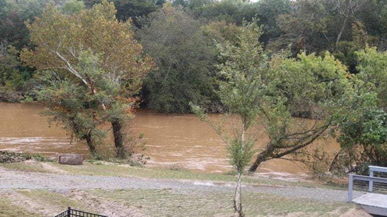
According to the report from the National Weather Service, Cobb County is under a flood watch until Friday afternoon.
Here is the text issued by the NWS:
...FLOOD WATCH IN EFFECT THROUGH FRIDAY AFTERNOON...

* WHAT...Flash flooding caused by excessive rainfall is possible.

* WHERE...Portions of north central Georgia, northwest Georgia and
  west central Georgia, including the following areas, in north
  central Georgia, Clayton, Cobb, DeKalb, Douglas, Fayette,
  Gwinnett, North Fulton and South Fulton. In northwest Georgia,
  Carroll. In west central Georgia, Coweta, Heard, Meriwether and
  Troup.

* WHEN...Through Friday afternoon.

* IMPACTS...Excessive runoff may result in flooding of rivers,
  creeks, streams, and other low-lying and flood-prone locations.

* ADDITIONAL DETAILS...
  - Areas of heavy rainfall will move across portions of north
    Georgia and west central Georgia today into Friday afternoon.
    Rainfall totals of one to two inches with locally higher
    amounts up to 4 inches are expected on near saturated grounds
    and urban areas. Localized flash flooding and quick rises on
    creeks and streams will be possible.
  - weather.gov/safety/flood

PRECAUTIONARY/PREPAREDNESS ACTIONS...

You should monitor later forecasts and be prepared to take action
should Flash Flood Warnings be issued.
7-day forecastNightMostly
The following is the NWS 7-day weather forecast, centered on Dobbins ARB in Marietta:
Overnight Thursday through Friday early morning Showers before 7 pm, then showers and possibly a thunderstorm between 7 pm and 1 am, then showers after 1 am. Low around 46. South wind 10 to 15 mph becoming west after midnight. Winds could gust as high as 25 mph. Chance of precipitation is 100%. New rainfall amounts between 1 and 2 inches possible.
Friday Showers likely, mainly before 10 am. Cloudy, with a temperature falling to around 44 by 5 pm. Northwest wind 10 to 15 mph, with gusts as high as 20 mph. Chance of precipitation is 60%. New precipitation amounts between a tenth and quarter of an inch possible.
Friday Night Mostly cloudy, with a low around 26. Northwest wind 10 to 15 mph, with gusts as high as 20 mph.
Saturday Sunny, with a high near 45. North wind around 10 mph, with gusts as high as 20 mph.
Saturday Night Mostly clear, with a low around 29.
Sunday Sunny, with a high near 47.
Sunday Night Partly cloudy, with a low around 32.
Monday Partly sunny, with a high near 49.
Monday Night Partly cloudy, with a low around 31.
Tuesday Mostly sunny, with a high near 50.
Tuesday Night Mostly clear, with a low around 30.
Wednesday Sunny, with a high near 54.
Wednesday Night Mostly clear, with a low around 32.
Thursday Sunny, with a high near 54.
About the National Weather Service
The National Weather Service (NWS) is a part of the National Oceanic and Atmospheric Administration (NOAA).
The NWS describes its role as follows:
The National Weather Service (NWS) provides weather, water, and climate forecasts and warnings for the United States, its territories, adjacent waters and ocean areas, for the protection of life and property and the enhancement of the national economy. These services include Forecasts and Observations, Warnings, Impact-based Decision Support Services, and Education in an effort to build a Weather-Ready Nation. The ultimate goal is to have a society that is prepared for and responds to weather, water and climate events.
Read all the Cobb County Courier climate and weather coverage by following this link.