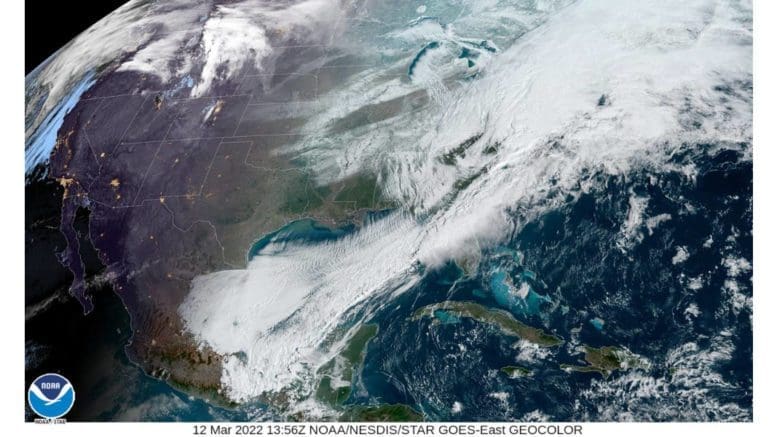
The National Weather Service has placed Cobb County and other parts of north and central Georgia under a freeze warning. We are under continuing wind and winter weather advisories.
As of this morning, the Courier has observed snow flurries in the Mableton area.
The Freeze Warning alert from the National Weather Service is reprinted below:
…FREEZE WARNING REMAINS IN EFFECT UNTIL 11 AM EDT SUNDAY… …WIND ADVISORY REMAINS IN EFFECT UNTIL 7 PM EST THIS EVENING…
* WHAT…For the Wind Advisory, northwest winds 15 to 25 mph with gusts up to 45 mph. For the Freeze Warning, sub-freezing temperatures as low as 18 expected.
* WHERE…Portions of north central, northeast, northwest and west central Georgia.
* WHEN…For the Wind Advisory, until 7 PM EST this evening. For the Freeze Warning, until 11 AM EDT Sunday.
* IMPACTS…Gusty winds could blow around unsecured objects. Tree limbs could be blown down and a few power outages may result. Frost and freeze conditions will kill crops, other sensitive vegetation and possibly damage unprotected outdoor plumbing.
* ADDITIONAL DETAILS…Temperatures are already nearing freezing in far northwest Georgia. A steady drop in temperatures are expected through the day today, with the lowest temperatures expected tonight through Sunday morning. Some areas in the northern portions of Georgia may not go above freezing all day today.
PRECAUTIONARY/PREPAREDNESS ACTIONS…
Use extra caution when driving, especially if operating a high profile vehicle. Secure outdoor objects. Take steps now to protect tender plants from the cold. To prevent freezing and possible bursting of outdoor water pipes they should be wrapped, drained, or allowed to drip slowly. Those that have in-ground sprinkler systems should drain them and cover above- ground pipes to protect them from freezing.
7-day forecast
The following is the NWS 7-day weather forecast, centered on Dobbins ARB in Marietta:
Mostly cloudy through mid morning, then gradual clearing, with a high near 32. Windy, with a northwest wind 20 to 25 mph, with gusts as high as 40 mph.
Tonight Clear, with a low around 20. Northwest wind 5 to 15 mph, with gusts as high as 25 mph.
Sunday Sunny, with a high near 51. Southwest wind around 5 mph.
Sunday Night Mostly clear, with a low around 33. South wind around 5 mph becoming calm.
Monday Mostly sunny, with a high near 61. Southeast wind 5 to 10 mph, with gusts as high as 15 mph.
Monday Night Partly cloudy, with a low around 43.
Tuesday Showers likely. Mostly cloudy, with a high near 62. Chance of precipitation is 60%.
Tuesday Night Showers likely and possibly a thunderstorm. Mostly cloudy, with a low around 50. Chance of precipitation is 60%.
Wednesday A 50 percent chance of showers. Mostly cloudy, with a high near 63.
Wednesday Night Partly cloudy, with a low around 50.
Thursday Mostly sunny, with a high near 71.
Thursday Night Mostly clear, with a low around 50.
Friday A 30 percent chance of showers. Partly sunny, with a high near 70.
About the National Weather Service
The National Weather Service (NWS) is a part of the National Oceanic and Atmospheric Administration (NOAA).
The NWS describes its role as follows:
The National Weather Service (NWS) provides weather, water, and climate forecasts and warnings for the United States, its territories, adjacent waters and ocean areas, for the protection of life and property and the enhancement of the national economy. These services include Forecasts and Observations, Warnings, Impact-based Decision Support Services, and Education in an effort to build a Weather-Ready Nation. The ultimate goal is to have a society that is prepared for and responds to weather, water and climate events.
Read all the Cobb County Courier climate and weather coverage by following this link.