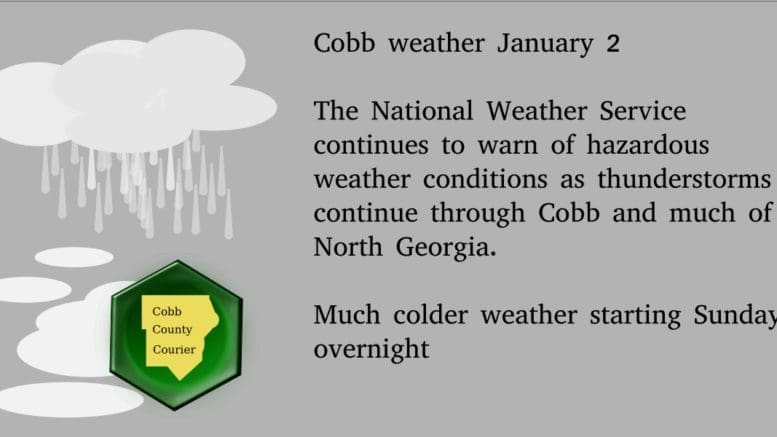
According to this morning’s report from the National Weather Service, Cobb County could experience hazardous weather as thunderstorms are expected to continue through Sunday, January 2.
We are also expected to experience much colder weather beginning overnight Sunday.
The NWS posted this outlook:
.DAY ONE
…This Afternoon and Tonight
… There is a slight chance for thunderstorms today for north Georgia and west central Georgia, with likely thunderstorms moving across the area late this evening through the morning hours. Some of the storms could become strong to severe. The primary threats will be damaging wind gusts, periods of heavy rain, and isolated brief tornadoes
. .DAYS TWO THROUGH SEVEN…Sunday through Friday
… Additional rounds of thunderstorms will continue across portions of north and central Georgia on Sunday. Some of these storms may be severe with damaging wind gusts, periods of heavy rainfall, and an isolated brief tornado. There is also a possibility for some mixed wintry precipitation in far northern Georgia late Sunday night into early Monday morning. Stay tuned to the latest forecasts throughout the weekend for more details.
7-day forecast
The following is the NWS 7-day weather forecast, centered on Dobbins ARB in Marietta:
Sunday Showers likely with a chance of thunderstorms in the morning then showers likely in the afternoon. Highs in the mid-60s. West winds 10 to 15 mph. Chance of rain 70 percent.
Sunday Night Much colder. Showers likely. Lows in the mid-30s. Northwest winds 10 to 15 mph with gusts to around 30 mph. Chance of rain 70 percent.
Monday Cooler, sunny. Highs in the upper 40s. Northwest winds 10 to 15 mph with gusts to around 30 mph.
Monday Night Clear. Lows in the lower 30s. Light and variable winds.
Tuesday Sunny. Highs in the upper 40s.
Tuesday Night Partly cloudy. Lows in the mid-30s.
Wednesday Mostly cloudy. Highs in the mid-50s.
Wednesday Night Mostly cloudy with a slight chance of showers. Lows in the upper 30s. Chance of rain 20 percent.
Thursday Showers likely. Highs in the mid-50s. Chance of rain 60 percent.
Thursday Night Partly cloudy. Lows in the mid-20s.
Friday Sunny. Highs in the mid-40s.
Friday Night Mostly clear. Lows in the upper 20s.
Saturday Sunny. Highs in the upper 40s.
About the National Weather Service
The National Weather Service (NWS) is a part of the National Oceanic and Atmospheric Administration (NOAA).
The NWS describes its role as follows:
The National Weather Service (NWS) provides weather, water, and climate forecasts and warnings for the United States, its territories, adjacent waters and ocean areas, for the protection of life and property and the enhancement of the national economy. These services include Forecasts and Observations, Warnings, Impact-based Decision Support Services, and Education in an effort to build a Weather-Ready Nation. The ultimate goal is to have a society that is prepared for and responds to weather, water and climate events.
Read all the Cobb County Courier climate and weather coverage by following this link.