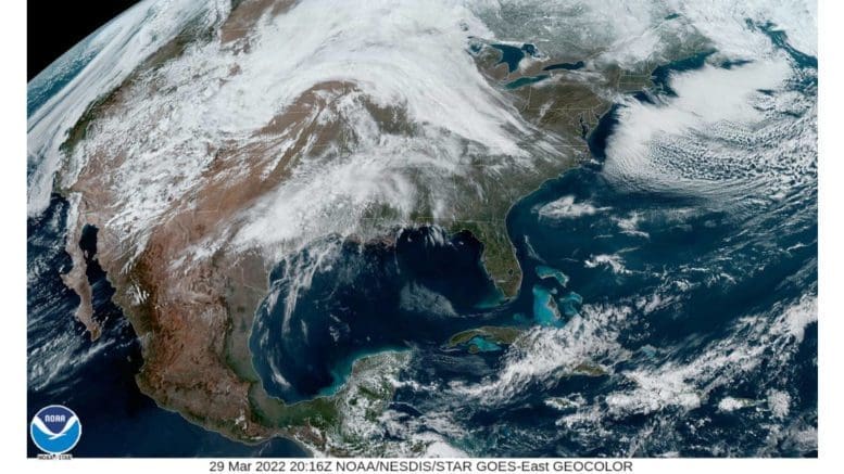
According to the report from the National Weather Service, a wind advisory is in effect for Cobb County and much of north Georgia from 11 a.m. Wednesday March 30 to 8 a.m. Thursday March 31.
What does the advisory say?
The wind advisory states:
…WIND ADVISORY IN EFFECT FROM 11 AM WEDNESDAY TO 8 AM EDT
THURSDAY…
* WHAT…South winds 15 to 25 mph with gusts up to 45 mph
expected.
* WHERE…Portions of central, north central, northeast,
northwest and west central Georgia.
* WHEN…From 11 AM Wednesday to 8 AM EDT Thursday.
* IMPACTS…Gusty winds could blow around unsecured objects.
Tree limbs could be blown down and a few power outages may
result.
* ADDITIONAL DETAILS…Strong winds are expected ahead of an
approaching line of storms during the day and evening hours
Wednesday. Additionally, strong gusty winds associated with an
approaching line of storms late Wednesday into early Thursday
are also possible.
PRECAUTIONARY/PREPAREDNESS ACTIONS…
Use extra caution when driving, especially if operating a high
profile vehicle. Secure outdoor objects.
What counties are affected by the advisory?
The following counties are listed in the advisory:
Baldwin-Banks-Barrow-Bartow-Bibb-Bleckley-Butts-Carroll-Catoosa-
Chattahoochee-Chattooga-Cherokee-Clarke-Clayton-Cobb-Coweta-
Crawford-Crisp-Dade-Dawson-DeKalb-Dodge-Dooly-Douglas-Emanuel-
Fannin-Fayette-Floyd-Forsyth-Gilmer-Glascock-Gordon-Greene-
Gwinnett-Hall-Hancock-Haralson-Harris-Heard-Henry-Houston-Jackson-
Jasper-Jefferson-Johnson-Jones-Lamar-Laurens-Lumpkin-Macon-
Madison-Marion-Meriwether-Monroe-Montgomery-Morgan-Murray-
Muscogee-Newton-North Fulton-Oconee-Oglethorpe-Paulding-Peach-
Pickens-Pike-Polk-Pulaski-Putnam-Rockdale-Schley-South Fulton-
Spalding-Stewart-Sumter-Talbot-Taliaferro-Taylor-Telfair-Toombs-
Towns-Treutlen-Troup-Twiggs-Union-Upson-Walker-Walton-Warren-
Washington-Webster-Wheeler-White-Whitfield-Wilcox-Wilkes-
Wilkinson-
7-day forecast
The following is the NWS 7-day weather forecast, centered on Dobbins ARB in Marietta:
Wednesday
Mostly cloudy, with a high near 80. East wind 5 to 10 mph increasing to 15 to 20 mph in the afternoon. Winds could gust as high as 30 mph.
Wednesday Night
Showers likely, then showers and possibly a thunderstorm after 3 a.m. Some of the storms could produce heavy rainfall. Low around 58. South wind 15 to 20 mph, with gusts as high as 45 mph. Chance of precipitation is 80%. New rainfall amounts between a half and three quarters of an inch possible.
Thursday
Showers and possibly a thunderstorm before 1 p.m., then a slight chance of showers between 1pm and 3 p.m. Some of the storms could produce heavy rainfall. High near 73. South wind 5 to 15 mph, with gusts as high as 25 mph. Chance of precipitation is 90%.
Thursday Night
Mostly clear, with a low around 46. West wind 5 to 10 mph, with gusts as high as 20 mph.
Friday
Sunny, with a high near 65.
Friday Night
Mostly clear, with a low around 42.
Saturday
A 30 percent chance of showers after 9am. Mostly sunny, with a high near 69.
Saturday Night
A 30 percent chance of showers, mainly before 9pm. Mostly clear, with a low around 47.
Sunday
A 20 percent chance of showers before 9am. Sunny, with a high near 69.
Sunday Night
Mostly clear, with a low around 45.
Monday
Sunny, with a high near 73.
Monday Night
Partly cloudy, with a low around 52.
Tuesday
A 40 percent chance of showers and thunderstorms. Mostly cloudy, with a high near 71.
About the National Weather Service
The National Weather Service (NWS) is a part of the National Oceanic and Atmospheric Administration (NOAA).
The NWS describes its role as follows:
The National Weather Service (NWS) provides weather, water, and climate forecasts and warnings for the United States, its territories, adjacent waters and ocean areas, for the protection of life and property and the enhancement of the national economy. These services include Forecasts and Observations, Warnings, Impact-based Decision Support Services, and Education in an effort to build a Weather-Ready Nation. The ultimate goal is to have a society that is prepared for and responds to weather, water and climate events.
Read all the Cobb County Courier climate and weather coverage by following this link.