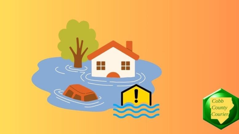
A flood watch is in effect for Cobb County and other north and central Georgia counties for Monday April 7 8 p.m.
What is in the Flood Watch statement?
The following text is from the flood watch alert:
..FLOOD WATCH REMAINS IN EFFECT THROUGH MONDAY EVENING…
* WHAT…Flash flooding caused by excessive rainfall continues to be
possible.
* WHERE…Portions of central, east central, north central,
northeast, northwest, and west central Georgia, including the
following areas, in central Georgia, Butts, Jasper, Monroe and
Putnam. In east central Georgia, Greene. In north central Georgia,
Barrow, Cherokee, Clayton, Cobb, Dawson, DeKalb, Douglas, Fannin,
Fayette, Forsyth, Gilmer, Gwinnett, Hall, Henry, Lumpkin, Morgan,
Newton, North Fulton, Pickens, Rockdale, South Fulton, Union and
Walton. In northeast Georgia, Banks, Clarke, Jackson, Madison,
Oconee, Oglethorpe, Towns and White. In northwest Georgia, Bartow,
Carroll, Catoosa, Chattooga, Dade, Floyd, Gordon, Haralson,
Murray, Paulding, Polk, Walker and Whitfield. In west central
Georgia, Chattahoochee, Coweta, Harris, Heard, Lamar, Meriwether,
Muscogee, Pike, Spalding, Talbot, Troup and Upson.
* WHEN…Through Monday evening.
* IMPACTS…Excessive runoff may result in flooding of rivers,
creeks, streams, and other low-lying and flood-prone locations.
Creeks and streams may rise out of their banks. Flooding may occur
in poor drainage and urban areas.
* ADDITIONAL DETAILS…
– Heavy rain has already fallen across portions of north and
central Georgia today and is still ongoing with a line of
storms pushing into central Georgia. This system is expected
to stall, bringing the potential for 2-4″ of total rainfall
across the flood watch area, with isolated amounts of up to
5″ where repeated rounds of heavy rainfall occur.
– http://www.weather.gov/safety/flood
PRECAUTIONARY/PREPAREDNESS ACTIONS…
You should monitor later forecasts and be prepared to take action
should Flash Flood Warnings be issued.
What counties are included in the alert?
Banks, Barrow, Bartow, Butts, Carroll, Catoosa, Chattahoochee, Chattooga, Cherokee, Clarke, Clayton, Cobb, Coweta, Dade, Dawson, DeKalb, Douglas, Fannin, Fayette, Floyd, Forsyth, Gilmer, Gordon, Greene, Gwinnett, Hall, Haralson, Harris, Heard, Henry, Jackson, Jasper, Lamar, Lumpkin, Madison, Meriwether, Monroe, Morgan, Murray, Muscogee, Newton, North Fulton, Oconee, Oglethorpe, Paulding, Pickens, Pike, Polk, Putnam, Rockdale, South Fulton, Spalding, Talbot, Towns, Troup, Union, Upson, Walker, Walton, White, Whitfield
About the National Weather Service
The National Weather Service (NWS) is a part of the National Oceanic and Atmospheric Administration (NOAA).
The NWS describes its role as follows:
The National Weather Service (NWS) provides weather, water, and climate forecasts and warnings for the United States, its territories, adjacent waters and ocean areas, for the protection of life and property and the enhancement of the national economy. These services include Forecasts and Observations, Warnings, Impact-based Decision Support Services, and Education in an effort to build a Weather-Ready Nation. The ultimate goal is to have a society that is prepared for and responds to weather, water and climate events.
Read all the Cobb County Courier climate and weather coverage by following this link.