According to the report from the National Weather Service, we are under a hazardous weather outlook for high winds until 8 a.m. here in Cobb County, and later a line of thunderstorms will move through the area.
Here is what the hazardous weather outlook states:
This Hazardous Weather Outlook is for portions of North and
Central Georgia.
.DAY ONE…Today and Tonight…
A Wind Advisory will remain in effect until 8 AM this morning for
much of north and central Georgia. Sustained winds of 15-25 mph
and gusts up to 40 mph are expected.
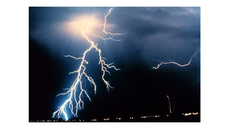
A line of showers and scattered thunderstorms will move through
the area today. A few storms could become strong to severe in
portions of central Georgia. The main threat with any severe
storms will be damaging wind gusts, although a brief tornado
cannot be ruled out.
.DAYS TWO THROUGH SEVEN…Friday through Wednesday…
Isolated to scattered thunderstorms will be possible on Tuesday
and Wednesday next week.
7-day forecast
The following is the NWS 7-day weather forecast, centered on Dobbins ARB in Marietta:
Today
Showers, mainly before 8 a.m. High near 69. South wind 10 to 15 mph becoming west in the morning. Winds could gust as high as 30 mph. Chance of precipitation is 80%. New precipitation amounts between a quarter and half of an inch possible.
Tonight
Mostly clear, with a low around 43. West wind around 10 mph, with gusts as high as 20 mph.
Friday
Sunny, with a high near 62. Northwest wind around 10 mph, with gusts as high as 20 mph.
Friday Night
Mostly clear, with a low around 41. Northwest wind around 5 mph.
Saturday
Mostly sunny, with a high near 67. East wind around 5 mph becoming southwest in the afternoon.
Saturday Night
Mostly clear, with a low around 46.
Sunday
Sunny, with a high near 69.
Sunday Night
Mostly clear, with a low around 44.
Monday
Sunny, with a high near 74.
Monday Night
A 20 percent chance of showers. Partly cloudy, with a low around 53.
Tuesday
Showers likely and possibly a thunderstorm. Mostly cloudy, with a high near 72. Chance of precipitation is 70%.
Tuesday Night
Showers likely and possibly a thunderstorm. Mostly cloudy, with a low around 59. Chance of precipitation is 70%.
Wednesday
A 50 percent chance of showers and thunderstorms. Partly sunny, with a high near 75.
Climate report
Here are some of the numbers relevant for climate tracking for the Atlanta area over time since 2000:
| Date | Max temperature | Min temperature | Precipitation |
| 2000-03-31 | 72 | 50 | 0.00 |
| 2001-03-31 | 62 | 49 | 0.01 |
| 2002-03-31 | 73 | 56 | 0.38 |
| 2003-03-31 | 56 | 29 | 0.00 |
| 2004-03-31 | 57 | 37 | 0.15 |
| 2005-03-31 | 65 | 58 | 1.69 |
| 2006-03-31 | 77 | 55 | 0.01 |
| 2007-03-31 | 76 | 56 | 0.00 |
| 2008-03-31 | 56 | 43 | T |
| 2009-03-31 | 62 | 49 | 0.01 |
| 2010-03-31 | 78 | 46 | 0.00 |
| 2011-03-31 | 56 | 44 | T |
| 2012-03-31 | 78 | 63 | 0.27 |
| 2013-03-31 | 69 | 57 | 0.26 |
| 2014-03-31 | 79 | 42 | 0.00 |
| 2015-03-31 | 76 | 47 | 0.04 |
| 2016-03-31 | 73 | 62 | 0.17 |
| 2017-03-31 | 73 | 58 | 0.15 |
| 2018-03-31 | 68 | 44 | 0.00 |
| 2019-03-31 | 68 | 43 | 0.10 |
| 2020-03-31 | 64 | 49 | 0.34 |
| 2021-03-31 | 71 | 45 | 0.99 |
About the National Weather Service
The National Weather Service (NWS) is a part of the National Oceanic and Atmospheric Administration (NOAA).
The NWS describes its role as follows:
The National Weather Service (NWS) provides weather, water, and climate forecasts and warnings for the United States, its territories, adjacent waters and ocean areas, for the protection of life and property and the enhancement of the national economy. These services include Forecasts and Observations, Warnings, Impact-based Decision Support Services, and Education in an effort to build a Weather-Ready Nation. The ultimate goal is to have a society that is prepared for and reswe are under a hazardous weather outlook for high winds until 8 a.m. here in Cobb County, and later a line of thunderstorms will move through the area.ponds to weather, water and climate events.
Read all the Cobb County Courier climate and weather coverage by following this link.