The National Weather Service issued a hazardous weather outlook and wind advisory for Cobb County and other Georgia counties on Thursday September 29 due to expected wind gusts of up to 35 mph as tropical storm Ian bears down on Georgia later in the day.
Ian was downgraded from a hurricane to a tropical storm as it made landfall and began it’s movement through Florida and toward coastal Georgia.
The region around Cobb County is also under a high fire danger alert.
What is in the statement?
The statement gives the following details:
This Hazardous Weather Outlook is for portions of North and Central Georgia.
.DAY ONE…Today and Tonight…
A Wind Advisory is in effect this morning through 8 PM for
areas along and south of I-85 as a result of strong northeast
winds ahead of Tropical Storm Ian. Northeast winds 20 to 25 mph
with gusts up to 35 mph are expected.
Due to strong northeast winds and dry fuels fire danger concerns
will span areawide this afternoon.
.DAYS TWO THROUGH SEVEN…Friday through Wednesday…
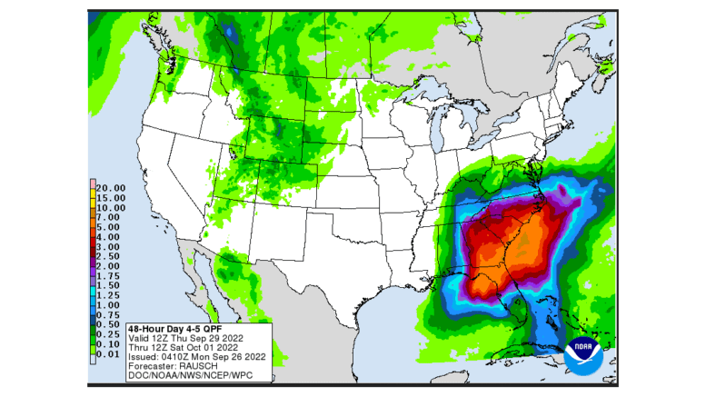
The remnants of Tropical Storm Ian will bring gusty winds and
locally heavy rainfall to portions of north and central Georgia
through Saturday.
What counties are affected?
The following counties are included in the hazardous weather outlook:
Baldwin, Banks, Barrow, Bartow, Bibb, Bleckley, Butts, Carroll, Catoosa, Chattahoochee, Chattooga, Cherokee, Clarke, Clayton, Cobb, Coweta, Crawford, Crisp, Dade, Dawson, DeKalb, Dodge, Dooly, Douglas, Emanuel, Fannin, Fayette, Floyd, Forsyth, Gilmer, Glascock, Gordon, Greene, Gwinnett, Hall, Hancock, Haralson, Harris, Heard, Henry, Houston, Jackson, Jasper, Jefferson, Johnson, Jones, Lamar, Laurens, Lumpkin, Macon, Madison, Marion, Meriwether, Monroe, Montgomery, Morgan, Murray, Muscogee, Newton, North Fulton, Oconee, Oglethorpe, Paulding, Peach, Pickens, Pike, Polk, Pulaski, Putnam, Rockdale, Schley, South Fulton, Spalding, Stewart, Sumter, Talbot, Taliaferro, Taylor, Telfair, Toombs, Towns, Treutlen, Troup, Twiggs, Union, Upson, Walker, Walton, Warren, Washington, Webster, Wheeler, White, Whitfield, Wilcox, Wilkes, Wilkinson
How long does the danger last?
Gusty winds and heavy rain are expected in parts of north Georgia through Saturday.
About the National Weather Service
The National Weather Service (NWS) is a part of the National Oceanic and Atmospheric Administration (NOAA).
The NWS describes its role as follows:
The National Weather Service (NWS) provides weather, water, and climate forecasts and warnings for the United States, its territories, adjacent waters and ocean areas, for the protection of life and property and the enhancement of the national economy. These services include Forecasts and Observations, Warnings, Impact-based Decision Support Services, and Education in an effort to build a Weather-Ready Nation. The ultimate goal is to have a society that is prepared for and responds to weather, water and climate events.
>>>Read all the Cobb County Courier climate and weather coverage by following this link.